| Locality | Latitude | Longitude | Distance | Bearing |
|---|
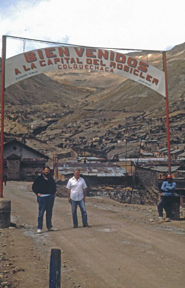
| Colquechaca, Colquechaca Municipality, Chayanta Province, Potosí, Bolivia | 18° 42' 0" S | 66° 0' 15" W | 0.0km (0.0 miles) | |
| Gallofa mine (Socavon Progreso), Colquechaca, Colquechaca Municipality, Chayanta Province, Potosí, Bolivia | 18° 41' 40" S | 65° 59' 50" W | 1.0km (0.6 miles) | |
| Pumpuri prospect, Colquechaca, Colquechaca Municipality, Chayanta Province, Potosí, Bolivia | 18° 41' 23" S | 65° 59' 46" W | 1.4km (0.9 miles) | |
| Virgen de Surumi mine, Pakajake Canyon, Colquechaca, Colquechaca Municipality, Chayanta Province, Potosí, Bolivia | 18° 38' 59" S | 66° 1' 0" W | 5.7km (3.6 miles) | |
| Macha area, Chayanta Province, Potosí, Bolivia | 18° 49' 8" S | 66° 2' 17" W | 13.7km (8.5 miles) | |
| Lípez Huaico mine, Ocurí Municipality, Chayanta Province, Potosí, Bolivia | 18° 49' 0" S | 65° 48' 0" W | 25.1km (15.6 miles) | |
| Llavisa, Condor Iquiña plateau, Macha area, Chayanta Province, Potosí, Bolivia | 18° 55' 59" S | 65° 55' 59" W | 27.0km (16.8 miles) | |
| Maragua, Ocurí Municipality, Chayanta Province, Potosí, Bolivia | 18° 57' 20" S | 65° 46' 41" W | 37.1km (23.0 miles) | |
| Chuquiuta mine (Chuquihuta), Amayapampa gold belt, Rafael Bustillo Province, Potosí, Bolivia | 18° 35' 48" S | 66° 21' 42" W | 39.4km (24.5 miles) | |
| Santa Rosa de Capacirca mine (Capasirca mine; Capa Sirca), Amayapampa gold belt, Rafael Bustillo Province, Potosí, Bolivia | 18° 34' 50" S | 66° 22' 27" W | 41.2km (25.6 miles) | |
| Purísima Mine, Anthura (Antora), Tinguipaya Municipality, Tomás Frías Province, Potosí, Bolivia | 19° 6' 13" S | 66° 0' 5" W | 44.9km (27.9 miles) | |
| Kakachaka (Cacachaca), Eduardo Abaroa Province, Oruro, Bolivia | 18° 48' 51" S | 66° 24' 54" W | 45.1km (28.0 miles) | |
| Anthura (Antora), Tinguipaya Municipality, Tomás Frías Province, Potosí, Bolivia | 19° 7' 32" S | 65° 58' 10" W | 47.5km (29.5 miles) | |
| Amayapampa mine, Amayapampa gold belt, Rafael Bustillo Province, Potosí, Bolivia | 18° 29' 0" S | 66° 26' 0" W | 51.2km (31.8 miles) | |
| Cerro Malmisa, Tinguipaya Municipality, Tomás Frías Province, Potosí, Bolivia | 19° 5' 36" S | 65° 45' 3" W | 51.2km (31.8 miles) | |
| Ravelo, Chayanta Province, Potosí, Bolivia | 18° 48' 24" S | 65° 30' 42" W | 53.2km (33.1 miles) | |
| Cruz de Saya mine, Chayanta, Rafael Bustillo Province, Potosí, Bolivia | 18° 28' 59" S | 66° 28' 0" W | 54.4km (33.8 miles) | |
| Guadalupe Nuevo Mine, Macha area, Chayanta Province, Potosí, Bolivia | 18° 50' 31" S | 65° 27' 23" W | 59.8km (37.2 miles) | |
| Charito prospect, Tinguipaya Municipality, Tomás Frías Province, Potosí, Bolivia | 19° 16' 40" S | 66° 2' 8" W | 64.3km (40.0 miles) | |
| Murivel mine, Sacaca Municipality, Alonso de Ibáñez Province, Potosí, Bolivia | 18° 7' 53" S | 66° 13' 17" W | 67.3km (41.8 miles) | |
| Dolores Atrás adit, Llallagua, Rafael Bustillo Province, Potosí, Bolivia | 18° 26' 54" S | 66° 36' 15" W | 69.1km (43.0 miles) | |
| Siglo Veinte Mine, Llallagua, Rafael Bustillo Province, Potosí, Bolivia | 18° 25' 22" S | 66° 35' 32" W | 69.2km (43.0 miles) | |
| Vilacota mine, Uncía, Rafael Bustillo Province, Potosí, Bolivia | 18° 28' 40" S | 66° 39' 10" W | 72.7km (45.1 miles) | |
| Malliri mine (E.M. Junkers mine; Empresa Minera Junkers), Eduardo Abaroa Province, Oruro, Bolivia | 18° 44' 8" S | 66° 43' 14" W | 75.6km (46.9 miles) | |
| Galia Itapalluni (Galia Tin Prospect), Cerro Tarqui, Yocalla Municipality, Tomás Frías Province, Potosí, Bolivia | 19° 24' 51" S | 65° 56' 57" W | 79.6km (49.5 miles) | |
| Vila Apacheta, Rafael Bustillo Province, Potosí, Bolivia | 18° 27' 2" S | 66° 43' 8" W | 80.3km (49.9 miles) | |
| Condor Mine, Antonio Quijarro Province, Potosí, Bolivia | 19° 20' 13" S | 66° 22' 5" W | 80.5km (50.0 miles) | |
| Mallcu Kota (Mallku Kota), Bernardino Bilbao province, Potosí, Bolivia | 17° 58' 0" S | 66° 7' 0" W | 82.4km (51.2 miles) | |
| Olca Mine, Mizque Province, Cochabamba, Bolivia | 18° 11' 47" S | 65° 24' 54" W | 83.7km (52.0 miles) | |
| Colavi Mine, Colavi subdistrict, Cornelio Saavedra Province, Potosí, Bolivia | 19° 19' 8" S | 65° 32' 30" W | 84.3km (52.4 miles) | |


Colquechaca, Colquechaca Municipality, Chayanta Province, Potosí, Bolivia