| Locality | Latitude | Longitude | Distance | Bearing |
|---|
| Kerriack Cove, Portreath, Cornwall, England, UK | 50° 16' 35" N | 5° 15' 38" W | 2.7km (1.7 miles) | |
| Wheal Sally, Wheal Lushington (West Wheal Towan), Porthtowan, St Agnes, Cornwall, England, UK | 50° 16' 35" N | 5° 15' 33" W | 2.8km (1.7 miles) | |
| Wheal Whitfield (North Carn Brea Mine; North Tincroft Mine), Robarts Mine (incl. East Wheal Seton; Wheal Maude), Illogan, Cornwall, England, UK | 50° 14' 48" N | 5° 15' 15" W | 2.9km (1.8 miles) | |
| Wheal West, Wheal Lushington (West Wheal Towan), Porthtowan, St Agnes, Cornwall, England, UK | 50° 16' 45" N | 5° 15' 33" W | 3.0km (1.8 miles) | |
| West Wheal Lushington (South Wheal Lushington), Portreath, Cornwall, England, UK | 50° 16' 28" N | 5° 15' 12" W | 3.0km (1.9 miles) | |
| Tolvaddon, Illogan, Cornwall, England, UK | 50° 13' 57" N | 5° 17' 6" W | 3.1km (1.9 miles) | |
| Wheal Sterran, Wheal Lushington (West Wheal Towan), Porthtowan, St Agnes, Cornwall, England, UK | 50° 16' 48" N | 5° 15' 24" W | 3.2km (2.0 miles) | |
| Robarts Mine (incl. East Wheal Seton; Wheal Maude), Illogan, Cornwall, England, UK | 50° 14' 35" N | 5° 15' 10" W | 3.2km (2.0 miles) | |
| Wheal Emily Henrietta (Tolvaddon Mine), Tolvaddon, Illogan, Cornwall, England, UK | 50° 13' 53" N | 5° 17' 22" W | 3.2km (2.0 miles) | |
| Wheal Tye, Wheal Lushington (West Wheal Towan), Porthtowan, St Agnes, Cornwall, England, UK | 50° 16' 49" N | 5° 15' 14" W | 3.3km (2.1 miles) | |
| West Tolgus, Carn Brea, Cornwall, England, UK | 50° 14' 16" N | 5° 15' 30" W | 3.3km (2.1 miles) | |
| West Wheal Tolgus, West Tolgus, Carn Brea, Cornwall, England, UK | 50° 14' 18" N | 5° 15' 26" W | 3.4km (2.1 miles) | |
| Great North Wheal Tolgus (Wheal Elizabeth), Gilberts Coombe, Redruth, Cornwall, England, UK | 50° 15' 3" N | 5° 14' 36" W | 3.4km (2.1 miles) | |
| East Wheal Seton, Tolvaddon, Illogan, Cornwall, England, UK | 50° 13' 47" N | 5° 16' 58" W | 3.4km (2.1 miles) | |
| Tolgus Mill, Redruth, Cornwall, England, UK | 50° 15' 11" N | 5° 14' 32" W | 3.4km (2.1 miles) | |
| North Pool Mine, Pool, Carn Brea, Cornwall, England, UK | 50° 14' 2" N | 5° 15' 49" W | 3.5km (2.2 miles) | |
| New North Pool Mine, Pool, Carn Brea, Cornwall, England, UK | 50° 13' 56" N | 5° 16' 8" W | 3.5km (2.2 miles) | |
| West Tolgus Group, Carn Brea, Cornwall, England, UK | 50° 14' 8" N | 5° 15' 33" W | 3.5km (2.2 miles) | |
| Wheal Raven, West Tolgus, Carn Brea, Cornwall, England, UK | 50° 14' 14" N | 5° 15' 13" W | 3.6km (2.2 miles) | |
| Wheal Seton, North Roskear, Camborne, Cornwall, England, UK | 50° 13' 41" N | 5° 17' 17" W | 3.6km (2.2 miles) | |
| Parc Erissey, Redruth, Cornwall, England, UK | 50° 15' 15" N | 5° 14' 16" W | 3.7km (2.3 miles) | |
| Tolgus United Mine (Wheal Gilbert), Gilberts Coombe, Redruth, Cornwall, England, UK | 50° 14' 47" N | 5° 14' 30" W | 3.7km (2.3 miles) | |
| Wheal Metal Work, Wheal Lushington (West Wheal Towan), Porthtowan, St Agnes, Cornwall, England, UK | 50° 16' 55" N | 5° 14' 53" W | 3.8km (2.3 miles) | |
| Wheal Tolgus, Tolgus Mount, Redruth, Cornwall, England, UK | 50° 14' 29" N | 5° 14' 42" W | 3.8km (2.4 miles) | |
| Wheal Mary (incl. Wheal Denner [Wheal Dinner]; Wheal Parent), Parc Erissey, Redruth, Cornwall, England, UK | 50° 15' 6" N | 5° 14' 16" W | 3.8km (2.4 miles) | |
| Tolgus Mount, Redruth, Cornwall, England, UK | 50° 14' 22" N | 5° 14' 50" W | 3.8km (2.4 miles) | |
| Wheal Crofty (Old Wheal Crofty; incl. Wheal Knight; Wheal Vernon), North Roskear, Camborne, Cornwall, England, UK | 50° 13' 35" N | 5° 17' 2" W | 3.8km (2.4 miles) | |
| Gilberts Coombe, Redruth, Cornwall, England, UK | 50° 14' 47" N | 5° 14' 24" W | 3.8km (2.4 miles) | |
| West Wheal Seton, Camborne, Cornwall, England, UK | 50° 13' 33" N | 5° 17' 47" W | 3.9km (2.4 miles) | |
| South Wheal Tolgus, Tolgus Mount, Redruth, Cornwall, England, UK | 50° 14' 16" N | 5° 14' 50" W | 3.9km (2.4 miles) | |

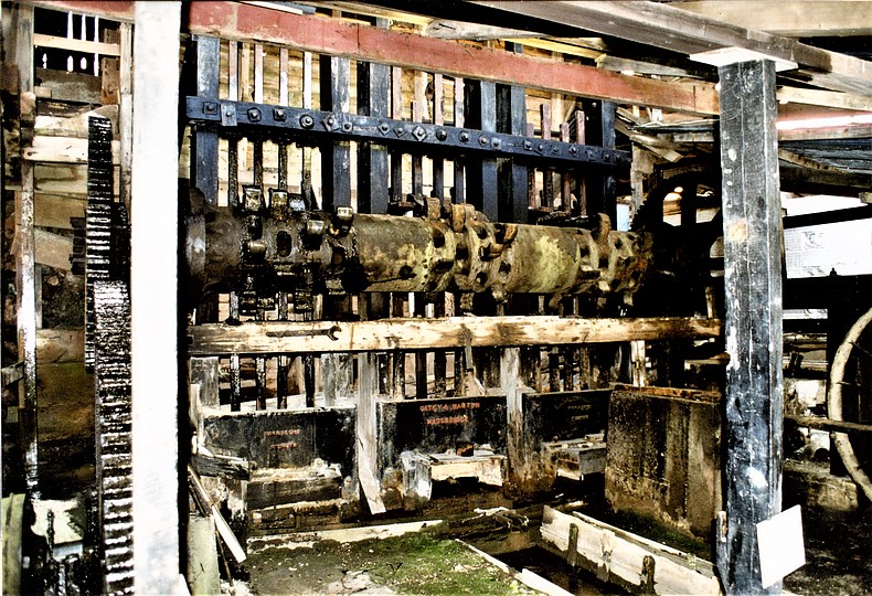


Tolgus Mill, Redruth, Cornwall, England, UK