| Locality | Latitude | Longitude | Distance | Bearing |
|---|
| Tuckahoe, Eastchester, The Bronx (Bronx County), New York City, New York, USA | 40° 57' 0" N | 73° 49' 59" W | 0.0km (0.0 miles) | |
| Yonkers, Westchester County, New York, USA | 40° 55' 51" N | 73° 53' 57" W | 5.9km (3.7 miles) | |
| New Rochelle, Westchester County, New York, USA | 40° 54' 41" N | 73° 46' 58" W | 6.0km (3.8 miles) | |
| Eastchester, The Bronx (Bronx County), New York City, New York, USA | 40° 53' 17" N | 73° 49' 42" W | 6.9km (4.3 miles) | |
| Gambelli's Quarry, Alpine, Bergen County, New Jersey, USA | 40° 57' 0" N | 73° 55' 0" W | 7.0km (4.3 miles) | |
| Belmont-Gurnee Stone Co. Quarry, Alpine, Bergen County, New Jersey, USA | 40° 57' 0" N | 73° 55' 0" W | 7.0km (4.3 miles) | |
| Hastings-on-Hudson, Greenburgh, Westchester County, New York, USA | 41° 0' 10" N | 73° 52' 45" W | 7.0km (4.4 miles) | |
| Women's Federation Monument Lookout, Alpine, Bergen County, New Jersey, USA | 40° 58' 51" N | 73° 54' 33" W | 7.2km (4.5 miles) | |
| Larchmont, Mamaroneck, Westchester County, New York, USA | 40° 55' 40" N | 73° 45' 7" W | 7.2km (4.5 miles) | |
| Davenport Neck, New Rochelle, Westchester County, New York, USA | 40° 53' 53" N | 73° 46' 18" W | 7.8km (4.8 miles) | |
| Mamaroneck, Westchester County, New York, USA | 40° 57' 6" N | 73° 43' 57" W | 8.5km (5.3 miles) | |
| Dodgewood Road, The Bronx (Bronx County), New York City, New York, USA | 40° 53' 37" N | 73° 54' 41" W | 9.1km (5.6 miles) | |
| Jerome Park Reservoir, The Bronx (Bronx County), New York City, New York, USA | 40° 52' 51" N | 73° 53' 40" W | 9.2km (5.7 miles) | |
| Harrison, Westchester County, New York, USA | 40° 58' 0" N | 73° 43' 0" W | 10.0km (6.2 miles) | |
| Lake Street Quarry, Harrison, Westchester County, New York, USA | 40° 58' 0" N | 73° 43' 0" W | 10.0km (6.2 miles) | |
| Closter Stone Quarries Inc. Quarry, Closter, Bergen County, New Jersey, USA | 40° 58' 0" N | 73° 57' 0" W | 10.0km (6.2 miles) | |
| Marble Hill, Manhattan (New York County), New York City, New York, USA | 40° 52' 34" N | 73° 54' 38" W | 10.5km (6.5 miles) | |
| Kingsbridge Road quarries, Manhattan (New York County), New York City, New York, USA | 40° 52' 28" N | 73° 54' 40" W | 10.6km (6.6 miles) | |
| White Plains, Westchester County, New York, USA | 41° 2' 2" N | 73° 45' 47" W | 11.0km (6.8 miles) | |
| 218th Street & Broadway, Manhattan (New York County), New York City, New York, USA | 40° 52' 16" N | 73° 54' 50" W | 11.1km (6.9 miles) | |
| 215th Street & Broadway, Manhattan (New York County), New York City, New York, USA | 40° 52' 11" N | 73° 54' 57" W | 11.3km (7.0 miles) | |
| 207th Street & Broadway, Manhattan (New York County), New York City, New York, USA | 40° 52' 3" N | 73° 55' 16" W | 11.8km (7.3 miles) | |
| Harlem Ship Canal, Manhattan (New York County), New York City, New York, USA | 40° 51' 48" N | 73° 54' 50" W | 11.8km (7.3 miles) | |
| 204th Street & Post Avenue, Manhattan (New York County), New York City, New York, USA | 40° 51' 50" N | 73° 55' 16" W | 12.1km (7.5 miles) | |
| Tubby Hook occurrences, Manhattan (New York County), New York City, New York, USA | 40° 52' 13" N | 73° 55' 53" W | 12.1km (7.5 miles) | |
| Inwood Valley (Inwood), Manhattan (New York County), New York City, New York, USA | 40° 51' 56" N | 73° 55' 37" W | 12.3km (7.6 miles) | |
| Piermont, Orangetown, Rockland County, New York, USA | 41° 2' 30" N | 73° 55' 6" W | 12.5km (7.8 miles) | |
| Tappan, Orangetown, Rockland County, New York, USA | 41° 1' 18" N | 73° 56' 52" W | 12.5km (7.8 miles) | |
| Fort George (192nd Street & Audubon Avenue), Washington Heights, Manhattan (New York County), New York City, New York, USA | 40° 51' 24" N | 73° 55' 32" W | 12.9km (8.0 miles) | |
| Rye, Westchester County, New York, USA | 40° 58' 50" N | 73° 40' 59" W | 13.0km (8.1 miles) | |
Minerals recorded nearby (within 13.0 km)
Warning: mysqli::query(): (HY000/3024): Query execution was interrupted, maximum statement execution time exceeded in /home/mindat/www/locsearch_class.php on line 264
ⓘ 'Apatite'
Rock types recorded nearby (within 13.0 km)
Entries shown in red are rocks recorded for this region.
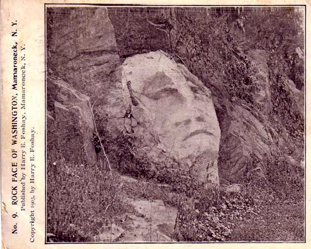


Mamaroneck, Westchester County, New York, USA