| Locality | Latitude | Longitude | Distance | Bearing |
|---|
| Two Johns Mine (Rua Group Mine), Bald Mountain Mining District (Portland Mining District), Lawrence County, South Dakota, USA | 44° 21' 25" N | 103° 51' 38" W | 0.0km (0.0 miles) | |
| Crown Hill Mine, Bald Mountain Mining District (Portland Mining District), Lawrence County, South Dakota, USA | 44° 21' 5" N | 103° 51' 33" W | 0.6km (0.4 miles) | |
| Golden Bottle, Bald Mountain Mining District (Portland Mining District), Lawrence County, South Dakota, USA | 44° 21' 12" N | 103° 51' 14" W | 0.6km (0.4 miles) | |
| Old Ironsides Mine (Colorado-Deadwood Mine), Spearfish, Trojan Mining District, Lawrence County, South Dakota, USA | 44° 21' 34" N | 103° 52' 12" W | 0.8km (0.5 miles) | |
| Labrador, Ragged Top Mining District, Lawrence County, South Dakota, USA | 44° 21' 59" N | 103° 51' 53" W | 1.1km (0.7 miles) | |
| Juno Mine, Bald Mountain Mining District (Portland Mining District), Lawrence County, South Dakota, USA | 44° 20' 48" N | 103° 51' 2" W | 1.4km (0.9 miles) | |
| Portland Mine, Bald Mountain Mining District (Portland Mining District), Lawrence County, South Dakota, USA | 44° 20' 49" N | 103° 50' 44" W | 1.6km (1.0 miles) | |
| Gushurst and Manchester, Bald Mountain Mining District (Portland Mining District), Lawrence County, South Dakota, USA | 44° 20' 53" N | 103° 50' 37" W | 1.6km (1.0 miles) | |
| Dakota, Bald Mountain Mining District (Portland Mining District), Lawrence County, South Dakota, USA | 44° 20' 35" N | 103° 50' 54" W | 1.8km (1.1 miles) | |
| South Dakota, Bald Mountain Mining District (Portland Mining District), Lawrence County, South Dakota, USA | 44° 20' 26" N | 103° 51' 35" W | 1.8km (1.1 miles) | |
| Dakota Group (O; Peggy; Little Rock; Joseph; Jim; Wedge Claims; Gunnison; Vulcan; Rehl; Lucy; Tiger; Moh), Bald Mountain Mining District (Portland Mining District), Lawrence County, South Dakota, USA | 44° 20' 37" N | 103° 50' 44" W | 1.9km (1.2 miles) | |
| Gunnison and Vulcan Mine (Dakota Group), Bald Mountain Mining District (Portland Mining District), Lawrence County, South Dakota, USA | 44° 20' 31" N | 103° 50' 57" W | 1.9km (1.2 miles) | |
| Johnson Gulch, Bald Mountain Mining District (Portland Mining District), Lawrence County, South Dakota, USA | 44° 21' 26" N | 103° 50' 10" W | 1.9km (1.2 miles) | |
| Wharf Mine, Bald Mountain Mining District (Portland Mining District), Lawrence County, South Dakota, USA | 44° 20' 53" N | 103° 50' 17" W | 2.0km (1.2 miles) | |
| Burlington and Golden Sands, Bald Mountain Mining District (Portland Mining District), Lawrence County, South Dakota, USA | 44° 20' 38" N | 103° 50' 32" W | 2.0km (1.3 miles) | |
| Dividend Mine (Decorah Mine), Bald Mountain Mining District (Portland Mining District), Lawrence County, South Dakota, USA | 44° 21' 50" N | 103° 50' 12" W | 2.1km (1.3 miles) | |
| Twin Peaks, Lead Mining District, Lawrence County, South Dakota, USA | 44° 22' 12" N | 103° 52' 44" W | 2.1km (1.3 miles) | |
| Ulster Mine, Ragged Top Mining District, Lawrence County, South Dakota, USA | 44° 21' 47" N | 103° 53' 8" W | 2.1km (1.3 miles) | |
| American Eagle Mine, Bald Mountain Mining District (Portland Mining District), Lawrence County, South Dakota, USA | 44° 21' 17" N | 103° 50' 3" W | 2.1km (1.3 miles) | |
| Balmoral, Ragged Top Mining District, Lawrence County, South Dakota, USA | 44° 21' 27" N | 103° 53' 15" W | 2.2km (1.3 miles) | |
| Perseverance Mine, Bald Mountain Mining District (Portland Mining District), Lawrence County, South Dakota, USA | 44° 20' 59" N | 103° 50' 5" W | 2.2km (1.4 miles) | |
| Davier Mine, Annie Creek, Bald Mountain Mining District (Portland Mining District), Lawrence County, South Dakota, USA | 44° 20' 13" N | 103° 51' 49" W | 2.2km (1.4 miles) | |
| Eagle Bird Mine, Ragged Top Mining District, Lawrence County, South Dakota, USA | 44° 22' 37" N | 103° 51' 16" W | 2.3km (1.4 miles) | |
| Clinton Upper Portland, Bald Mountain Mining District (Portland Mining District), Lawrence County, South Dakota, USA | 44° 20' 35" N | 103° 50' 18" W | 2.3km (1.4 miles) | |
| Clinton Mine, Trojan Mining District, Lawrence County, South Dakota, USA | 44° 20' 25" N | 103° 50' 26" W | 2.4km (1.5 miles) | |
| Trojan, Trojan Mining District, Lawrence County, South Dakota, USA | 44° 20' 31" N | 103° 50' 16" W | 2.4km (1.5 miles) | |
| Foley No. 2, Bald Mountain Mining District (Portland Mining District), Lawrence County, South Dakota, USA | 44° 20' 16" N | 103° 50' 39" W | 2.5km (1.5 miles) | |
| Foley Mountain, Bald Mountain Mining District (Portland Mining District), Lawrence County, South Dakota, USA | 44° 20' 4" N | 103° 51' 30" W | 2.5km (1.5 miles) | |
| Trojan Mine, Trojan, Trojan Mining District, Lawrence County, South Dakota, USA | 44° 20' 30" N | 103° 50' 15" W | 2.5km (1.6 miles) | |
| Empire State M.S. 357 (Empire), Bald Mountain Mining District (Portland Mining District), Lawrence County, South Dakota, USA | 44° 20' 35" N | 103° 50' 8" W | 2.5km (1.6 miles) | |


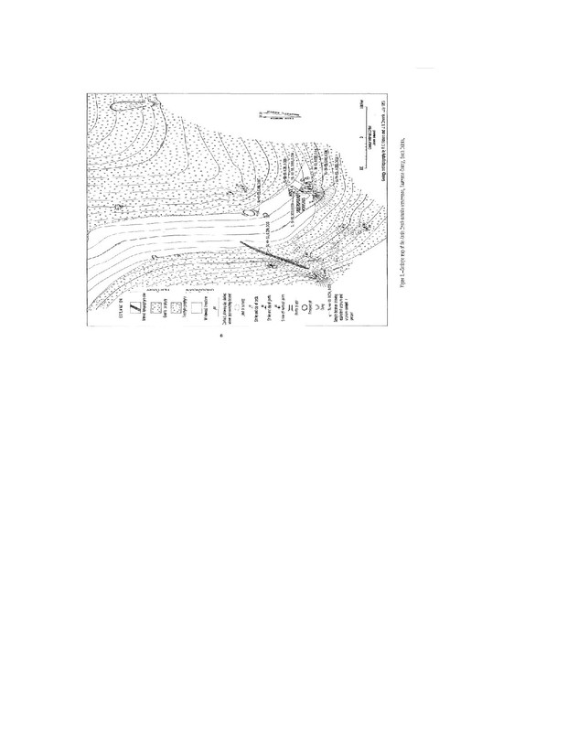


Davier Mine, Annie Creek, Bald Mountain Mining District, Lawrence County, South Dakota, USA