| Locality | Latitude | Longitude | Distance | Bearing |
|---|
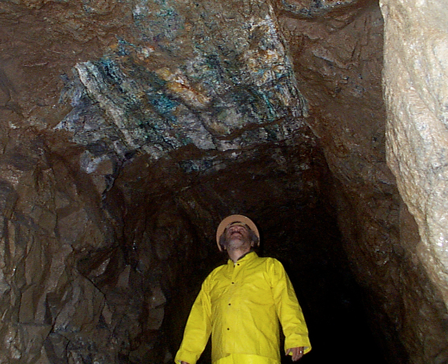
| Last Chance Mine, Washougal River, Washougal Mining District, Skamania County, Washington, USA | 45° 42' 36" N | 122° 12' 52" W | 0.0km (0.0 miles) | |
| Rainbow, Washougal Mining District, Skamania County, Washington, USA | 45° 41' 46" N | 122° 13' 1" W | 1.6km (1.0 miles) | |
| Skamania Mine, Washougal River, Washougal Mining District, Skamania County, Washington, USA | 45° 43' 22" N | 122° 12' 19" W | 1.6km (1.0 miles) | |
| Yellow Jacket and Hoo Hoo claims (Copper Canyon Mines), Washougal River, Washougal Mining District, Skamania County, Washington, USA | 45° 43' 39" N | 122° 12' 3" W | 2.2km (1.4 miles) | |
| Rainbow Prospect, Skamania County, Washington, USA | 45° 41' 24" N | 122° 13' 24" W | 2.3km (1.4 miles) | |
| Mountain King Claim, Washougal Mining District, Skamania County, Washington, USA | 45° 44' 14" N | 122° 12' 29" W | 3.1km (1.9 miles) | |
| Silver Creek Prospect, Washougal Mining District, Skamania County, Washington, USA | 45° 43' 34" N | 122° 10' 43" W | 3.3km (2.1 miles) | |
| Blue Bird Prospect, Washougal Mining District, Skamania County, Washington, USA | 45° 44' 50" N | 122° 10' 12" W | 5.4km (3.3 miles) | |
| Maybee Mine, Washougal Mining District, Skamania County, Washington, USA | 45° 44' 52" N | 122° 9' 38" W | 5.9km (3.7 miles) | |
| Silver Star Prospect, Silver Star Mountain, Clark County, Washington, USA | 45° 43' 48" N | 122° 17' 7" W | 5.9km (3.7 miles) | |
| Black Jack Mine, Gumboot Mountain, Washougal Mining District, Skamania County, Washington, USA | 45° 46' 19" N | 122° 11' 59" W | 7.0km (4.4 miles) | |
| Zinc Creek Prospect (Gold Creek Prospect), Washougal Mining District, Skamania County, Washington, USA | 45° 44' 44" N | 122° 8' 3" W | 7.4km (4.6 miles) | |
| Miners Queen Claim (Columbia Gold and Copper Claim), Miners Creek, Washougal Mining District, Skamania County, Washington, USA | 45° 46' 31" N | 122° 11' 29" W | 7.5km (4.6 miles) | |
| Rawson Quarry, Clark County, Washington, USA | 45° 43' 6" N | 122° 19' 2" W | 8.0km (5.0 miles) | |
| Washougal Basalt Rock Quarry, Skamania County, Washington, USA | 45° 38' 6" N | 122° 10' 35" W | 8.9km (5.5 miles) | |
| Unnamed quarry, Skamania County, Washington, USA | 45° 43' 17" N | 122° 21' 19" W | 11.0km (6.8 miles) | |
| Lacamas Creek, Orchards, Clark County, Washington, USA | 45° 43' 33" N | 122° 24' 12" W | 14.8km (9.2 miles) | |
| Livingston Quarry, Orchards, Clark County, Washington, USA | 45° 40' 27" N | 122° 24' 8" W | 15.1km (9.4 miles) | |
| Unnamed Stone - Crushed/Broken Quarry (MRDS - 10153723), Multnomah County, Oregon, USA | 45° 34' 0" N | 122° 9' 51" W | 16.4km (10.2 miles) | |
| Unnamed Stone - Crushed/Broken Quarry (MRDS - 10153393), Multnomah County, Oregon, USA | 45° 34' 44" N | 122° 6' 15" W | 16.9km (10.5 miles) | |
| Bridal Veil Pit (Hershel McGriff), Multnomah County, Oregon, USA | 45° 33' 24" N | 122° 10' 41" W | 17.3km (10.7 miles) | |
| Washougal meteorite, Washougal, Clark County, Washington, USA | 45° 34' 59" N | 122° 20' 59" W | 17.6km (10.9 miles) | |
| Rock Creek, Stevenson, Skamania County, Washington, USA | 45° 44' 52" N | 121° 58' 58" W | 18.5km (11.5 miles) | |
| Raymond Smith Pit, Multnomah County, Oregon, USA | 45° 32' 29" N | 122° 10' 28" W | 19.0km (11.8 miles) | |
| Moulton, Clark County, Washington, USA | 45° 50' 4" N | 122° 23' 5" W | 19.1km (11.9 miles) | |
| Lacamas Lake, Camas, Clark County, Washington, USA | 45° 37' 6" N | 122° 25' 39" W | 19.4km (12.1 miles) | |
| Dodson Site (Oregon State Highway Division), Multnomah County, Oregon, USA | 45° 36' 5" N | 122° 1' 0" W | 19.5km (12.1 miles) | |
| Oak Park, Clark County, Washington, USA | 45° 35' 0" N | 122° 23' 45" W | 19.9km (12.4 miles) | |
| Venersborg, Clark County, Washington, USA | 45° 46' 57" N | 122° 27' 43" W | 20.8km (12.9 miles) | |
| Big Tree Creek, Yacolt, Clark County, Washington, USA | 45° 52' 28" N | 122° 21' 40" W | 21.6km (13.4 miles) | |


Last Chance Mine, Washougal River, Washougal Mining District, Skamania County, Washington, USA