| Locality | Latitude | Longitude | Distance | Bearing |
|---|
| Denham Bridge Mine, Skithead Wood, Bere Ferrers, West Devon, Devon, England, UK | 50° 29' 31" N | 4° 8' 54" W | 1.3km (0.8 miles) | |
| Lady Bertha Mine, Buckland Monachorum, West Devon, Devon, England, UK | 50° 29' 57" N | 4° 9' 22" W | 1.9km (1.2 miles) | |
| Little Duke Mine (North Tavy Mine), Gulworthy, West Devon, Devon, England, UK | 50° 30' 16" N | 4° 9' 23" W | 2.1km (1.3 miles) | |
| Virtuous Lady Mine, Buckland Monachorum, West Devon, Devon, England, UK | 50° 30' 25" N | 4° 9' 12" W | 2.1km (1.3 miles) | |
| Tavy Consols, Gulworthy, West Devon, Devon, England, UK | 50° 29' 53" N | 4° 9' 37" W | 2.1km (1.3 miles) | |
| Walkham United Mine (Devon Poldice Mine; Old Poldice Mine; East Poldice Mine), Walkham and Poldice Mine (Wheal Walkham), Buckland Monachorum, West Devon, Devon, England, UK | 50° 30' 51" N | 4° 7' 27" W | 2.2km (1.4 miles) | |
| Sortridge and Bedford Mine (Westdown Mine; West Down Mine), Whitchurch, West Devon, Devon, England, UK | 50° 30' 54" N | 4° 8' 3" W | 2.3km (1.4 miles) | |
| Blackmoorham Wood Railway Cutting, Gulworthy, West Devon, Devon, England, UK | 50° 30' 23" N | 4° 9' 28" W | 2.3km (1.4 miles) | |
| Walkham and Poldice Mine (Wheal Walkham), Buckland Monachorum, West Devon, Devon, England, UK | 50° 30' 56" N | 4° 7' 37" W | 2.3km (1.5 miles) | |
| North Roborough Down Mine, Horrabridge, West Devon, Devon, England, UK | 50° 29' 49" N | 4° 5' 49" W | 2.4km (1.5 miles) | |
| Broadwell Wood Railway Cutting (1), Gulworthy, West Devon, Devon, England, UK | 50° 30' 29" N | 4° 9' 33" W | 2.5km (1.6 miles) | |
| Wood Mine, Great Whiterock Wood, Bere Ferrers, West Devon, Devon, England, UK | 50° 28' 27" N | 4° 8' 47" W | 2.6km (1.6 miles) | |
| Wheal Franco (New Wheal Franco; Old Wheal Franco), Wheal Franco Consols, Horrabridge, West Devon, Devon, England, UK | 50° 30' 42" N | 4° 6' 15" W | 2.7km (1.6 miles) | |
| Wheal Franco Consols, Horrabridge, West Devon, Devon, England, UK | 50° 30' 42" N | 4° 6' 15" W | 2.7km (1.6 miles) | |
| Furzehill Mine (Furzehill Wood Mine), Horrabridge, West Devon, Devon, England, UK | 50° 30' 7" N | 4° 5' 39" W | 2.7km (1.7 miles) | |
| Broadwell Wood Railway Cutting (2), Gulworthy, West Devon, Devon, England, UK | 50° 30' 32" N | 4° 9' 49" W | 2.8km (1.8 miles) | |
| Yelverton, Buckland Monachorum, West Devon, Devon, England, UK | 50° 29' 32" N | 4° 5' 5" W | 3.2km (2.0 miles) | |
| William and Mary Mine, Devon and Cornwall United Mines, Gulworthy, West Devon, Devon, England, UK | 50° 30' 37" N | 4° 10' 10" W | 3.3km (2.0 miles) | |
| Lopwell Mine, Blindwell Wood, Buckland Monachorum, West Devon, Devon, England, UK | 50° 28' 0" N | 4° 8' 56" W | 3.4km (2.1 miles) | |
| Bedford Consols, Gulworthy, West Devon, Devon, England, UK | 50° 30' 15" N | 4° 10' 34" W | 3.4km (2.1 miles) | |
| Gawton Mine, Gulworthy, West Devon, Devon, England, UK | 50° 29' 54" N | 4° 10' 58" W | 3.7km (2.3 miles) | |
| Devon and Courtenay Consols, Whitchurch, West Devon, Devon, England, UK | 50° 31' 31" N | 4° 9' 24" W | 3.9km (2.4 miles) | |
| Maristow Mine (Wheal Maristow), Blindwell Wood, Bere Ferrers, West Devon, Devon, England, UK | 50° 27' 47" N | 4° 9' 15" W | 3.9km (2.4 miles) | |
| George and Charlotte Mine, Devon and Cornwall United Mines, Gulworthy, West Devon, Devon, England, UK | 50° 30' 31" N | 4° 10' 54" W | 3.9km (2.5 miles) | |
| New East Wheal Russell (South Wheal Crebor), Gulworthy, West Devon, Devon, England, UK | 50° 31' 20" N | 4° 9' 59" W | 4.0km (2.5 miles) | |
| Harewood Consols, Harewood, Calstock, Cornwall, England, UK | 50° 30' 14" N | 4° 11' 12" W | 4.1km (2.5 miles) | |
| Queen of Tamar Mine (North Tamar Consols; Tuckermarsh Mine; Philley Wood Mine; Wheal Jenny), Bere Alston Mines, Bere Ferrers, West Devon, Devon, England, UK | 50° 29' 10" N | 4° 11' 13" W | 4.1km (2.6 miles) | |
| Harewood, Calstock, Cornwall, England, UK | 50° 30' 3" N | 4° 11' 28" W | 4.3km (2.7 miles) | |
| Okel Tor Mine, Harewood, Calstock, Cornwall, England, UK | 50° 29' 57" N | 4° 11' 34" W | 4.4km (2.8 miles) | |
| Crowndale Mine, Tavistock, West Devon, Devon, England, UK | 50° 31' 54" N | 4° 9' 37" W | 4.6km (2.9 miles) | |

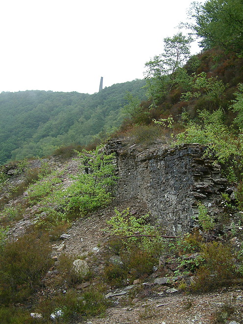


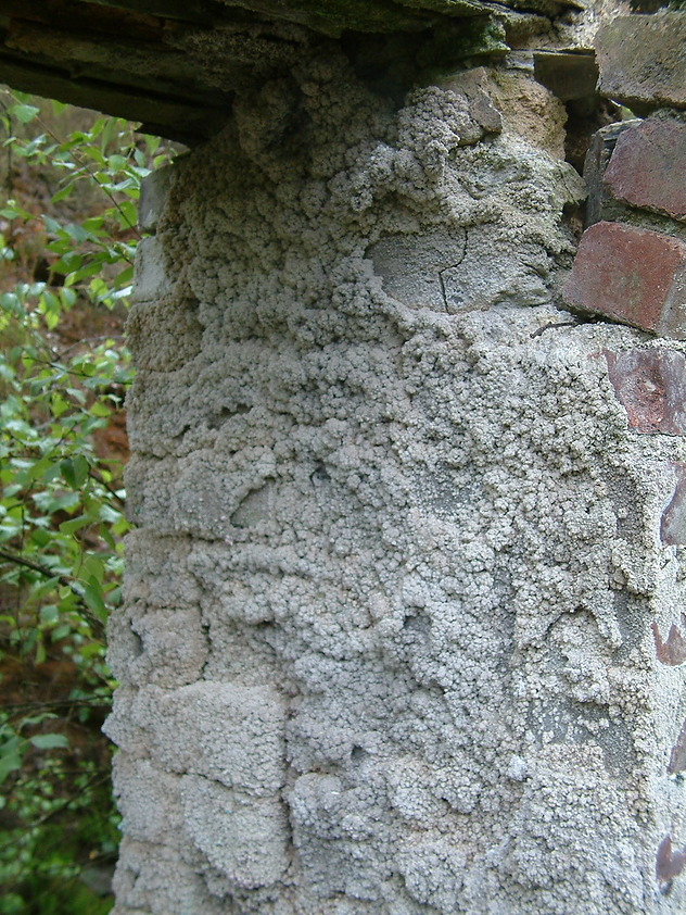


Gawton Mine, Gulworthy, West Devon, Devon, England, UK