| Locality | Latitude | Longitude | Distance | Bearing |
|---|
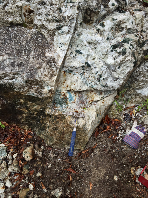
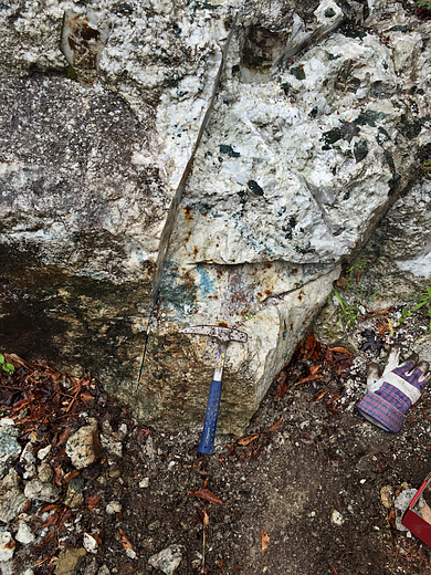
| Mulvaney property (Rose Road wollastonite deposit; McDonald Sugar Bush), Rose Road, Pitcairn, St. Lawrence County, New York, USA | 44° 12' 2" N | 75° 13' 59" W | 0.0km (0.0 miles) | |
| Rose Road, Pitcairn, St. Lawrence County, New York, USA | 44° 12' 0" N | 75° 13' 58" W | 0.1km (0.0 miles) | |
| Purple Diopside Mound (PDM), Rose Road, Pitcairn, St. Lawrence County, New York, USA | 44° 12' 5" N | 75° 14' 3" W | 0.1km (0.1 miles) | |
| East Pitcairn, St. Lawrence County, New York, USA | 44° 13' 5" N | 75° 13' 22" W | 2.1km (1.3 miles) | |
| Pitcairn, St. Lawrence County, New York, USA | 44° 11' 0" N | 75° 16' 59" W | 4.4km (2.7 miles) | |
| Toothaker Pond prospect, Cooper Hill, Toothaker Creek State Forest, Pitcairn, St. Lawrence County, New York, USA | 44° 12' 17" N | 75° 17' 29" W | 4.7km (2.9 miles) | |
| Jayville mine, Magnetite Mining District, St. Lawrence County, New York, USA | 44° 9' 34" N | 75° 11' 23" W | 5.7km (3.5 miles) | |
| Toothaker Creek prospects, Cooper Hill, Toothaker Creek State Forest, Pitcairn, St. Lawrence County, New York, USA | 44° 12' 24" N | 75° 18' 18" W | 5.8km (3.6 miles) | |
| Whitton prospect, Rose Road, Pitcairn, St. Lawrence County, New York, USA | 44° 12' 56" N | 75° 20' 5" W | 8.3km (5.1 miles) | |
| Fida Scott Quarry, Fine, St. Lawrence County, New York, USA | 44° 13' 59" N | 75° 7' 59" W | 8.8km (5.4 miles) | |
| Roadcuts, Fine, St. Lawrence County, New York, USA | 44° 14' 36" N | 75° 8' 3" W | 9.2km (5.7 miles) | |
| Unnamed pegmatite, Fine, St. Lawrence County, New York, USA | 44° 14' 49" N | 75° 8' 6" W | 9.4km (5.8 miles) | |
| Ontario Talc Company Mine, Fullerville, St. Lawrence County, New York, USA | 44° 15' 0" N | 75° 20' 30" W | 10.2km (6.4 miles) | |
| Scott farm pegmatites, Fine, St. Lawrence County, New York, USA | 44° 13' 35" N | 75° 6' 4" W | 10.9km (6.8 miles) | |
| Balmat-Edwards Zinc Mining District, St. Lawrence County, New York, USA | 44° 16' 59" N | 75° 19' 58" W | 12.1km (7.5 miles) | |
| No. 2½ Mine (U.S. Talc 2 1/2 mine; Wintergreen mine), Talcville, St. Lawrence County, New York, USA | 44° 17' 59" N | 75° 17' 59" W | 12.3km (7.6 miles) | |
| No. 4 Mine, Talcville, St. Lawrence County, New York, USA | 44° 17' 59" N | 75° 17' 59" W | 12.3km (7.6 miles) | |
| Uniform Fibrous Talc Company Mine, Talcville, St. Lawrence County, New York, USA | 44° 17' 59" N | 75° 17' 59" W | 12.3km (7.6 miles) | |
| No. 5 Mine, Talcville, St. Lawrence County, New York, USA | 44° 17' 59" N | 75° 17' 59" W | 12.3km (7.6 miles) | |
| Morgan farm, Edwards, Balmat-Edwards Zinc Mining District, St. Lawrence County, New York, USA | 44° 19' 0" N | 75° 14' 21" W | 13.0km (8.0 miles) | |
| Edwards Mine (St. Joe Lead), Edwards, Balmat-Edwards Zinc Mining District, St. Lawrence County, New York, USA | 44° 19' 0" N | 75° 15' 0" W | 13.0km (8.1 miles) | |
| Wight Mine, Sylvia Lake, Fowler, St. Lawrence County, New York, USA | 44° 15' 0" N | 75° 22' 59" W | 13.2km (8.2 miles) | |
| Talcville, Balmat-Edwards Zinc Mining District, St. Lawrence County, New York, USA | 44° 18' 32" N | 75° 18' 18" W | 13.3km (8.3 miles) | |
| Green Hill Mining Company Quarry, Talcville, St. Lawrence County, New York, USA | 44° 18' 29" N | 75° 18' 29" W | 13.4km (8.3 miles) | |
| Hyatt Mine, Talcville, Balmat-Edwards Zinc Mining District, St. Lawrence County, New York, USA | 44° 18' 18" N | 75° 19' 5" W | 13.4km (8.4 miles) | |
| Ames Road locality, Talcville, St. Lawrence County, New York, USA | 44° 18' 30" N | 75° 18' 33" W | 13.4km (8.4 miles) | |
| United States Talc Company Mine, Talcville, St. Lawrence County, New York, USA | 44° 18' 34" N | 75° 18' 23" W | 13.5km (8.4 miles) | |
| Talcville, St. Lawrence County, New York, USA | 44° 18' 34" N | 75° 18' 23" W | 13.5km (8.4 miles) | |
| Johnson Mine, Fowler, St. Lawrence County, New York, USA | 44° 16' 34" N | 75° 22' 8" W | 13.7km (8.5 miles) | |
| International Talc Company Mine (Reynolds Mine), Talcville, St. Lawrence County, New York, USA | 44° 18' 55" N | 75° 17' 58" W | 13.8km (8.6 miles) | |


Mulvaney property, Rose Road, Pitcairn, St. Lawrence County, New York, USA