| Locality | Latitude | Longitude | Distance | Bearing |
|---|
| 'Józef' washing plant, Gmina Bolesław, Olkusz County, Lesser Poland Voivodeship, Poland | 50° 17' 34" N | 19° 32' 21" E | 0.0km (0.0 miles) | |
| Józef Mine, Stary Olkusz, Olkusz County, Lesser Poland Voivodeship, Poland | 50° 17' 18" N | 19° 32' 7" E | 0.6km (0.3 miles) | |
| Pomorzany Mine, Gmina Olkusz, Olkusz County, Lesser Poland Voivodeship, Poland | 50° 17' 4" N | 19° 32' 1" E | 1.0km (0.6 miles) | |
| Olkusz Mine, Gmina Olkusz, Olkusz County, Lesser Poland Voivodeship, Poland | 50° 17' 59" N | 19° 33' 0" E | 1.1km (0.7 miles) | |
| Bolesław mine, Gmina Bolesław, Olkusz County, Lesser Poland Voivodeship, Poland | 50° 16' 36" N | 19° 28' 54" E | 4.4km (2.8 miles) | |
| Jerzy Mine, Tłukienka, Olkusz County, Lesser Poland Voivodeship, Poland | 50° 16' 45" N | 19° 28' 11" E | 5.2km (3.2 miles) | |
| Ulisses mine (Ulysses mine), Krążek, Gmina Bolesław, Olkusz County, Lesser Poland Voivodeship, Poland | 50° 17' 25" N | 19° 27' 13" E | 6.1km (3.8 miles) | |
| Artur mine, Myślachovice, Gmina Trzebinia, Chrzanów County, Lesser Poland Voivodeship, Poland | 50° 11' 26" N | 19° 26' 50" E | 13.1km (8.1 miles) | |
| Michałów Mine, Sławków, Będzin County, Silesian Voivodeship, Poland | 50° 16' 15" N | 19° 20' 1" E | 14.8km (9.2 miles) | |
| Miękinia, Gmina Krzeszowice, Kraków County, Lesser Poland Voivodeship, Poland | 50° 9' 47" N | 19° 35' 21" E | 14.8km (9.2 miles) | |
| Ryczów skarn, Gmina Ogrodzieniec, Zawiercie County, Silesian Voivodeship, Poland | 50° 25' 21" N | 19° 35' 27" E | 14.9km (9.3 miles) | |
| Józef Mine, Sławków, Będzin County, Silesian Voivodeship, Poland | 50° 16' 19" N | 19° 19' 47" E | 15.1km (9.4 miles) | |
| Niegowonice limestone quarry, Niegowonice, Gmina Łazy, Zawiercie County, Silesian Voivodeship, Poland | 50° 24' 7" N | 19° 24' 36" E | 15.2km (9.5 miles) | |
| Łosień, Dąbrowa Górnicza, Silesian Voivodeship, Poland | 50° 21' 5" N | 19° 20' 34" E | 15.4km (9.6 miles) | |
| Kawa, Dąbrowa Górnicza, Silesian Voivodeship, Poland | 50° 18' 57" N | 19° 19' 6" E | 15.9km (9.9 miles) | |
| Petroleum refinery, Gmina Trzebinia, Chrzanów County, Lesser Poland Voivodeship, Poland | 50° 9' 45" N | 19° 26' 49" E | 15.9km (9.9 miles) | |
| Trzebionka mine, Gmina Trzebinia, Chrzanów County, Lesser Poland Voivodeship, Poland | 50° 10' 1" N | 19° 25' 53" E | 15.9km (9.9 miles) | |
| Zinc smelter, Gmina Trzebinia, Chrzanów County, Lesser Poland Voivodeship, Poland | 50° 9' 19" N | 19° 27' 36" E | 16.3km (10.1 miles) | |
| Trzebinia waste dump, Trzebinia smelting plant, Gmina Trzebinia, Chrzanów County, Lesser Poland Voivodeship, Poland | 50° 9' 13" N | 19° 27' 45" E | 16.4km (10.2 miles) | |
| Czatkowice quarry, Krzeszowice, Gmina Krzeszowice, Kraków County, Lesser Poland Voivodeship, Poland | 50° 9' 34" N | 19° 38' 33" E | 16.6km (10.3 miles) | |
| Łazy limestone quarry, Łazy, Gmina Łazy, Zawiercie County, Silesian Voivodeship, Poland | 50° 25' 33" N | 19° 24' 1" E | 17.8km (11.1 miles) | |
| Dębnik-Dubie area, Gmina Krzeszowice, Kraków County, Lesser Poland Voivodeship, Poland | 50° 9' 24" N | 19° 40' 52" E | 18.2km (11.3 miles) | |
| Zawiercie skarn, Rokitno Szlacheckie, Gmina Łazy, Zawiercie County, Silesian Voivodeship, Poland | 50° 27' 3" N | 19° 26' 55" E | 18.7km (11.6 miles) | |
| Szklarka valley, Żary, Gmina Krzeszowice, Kraków County, Lesser Poland Voivodeship, Poland | 50° 9' 41" N | 19° 42' 29" E | 18.9km (11.7 miles) | |
| Ogrodzieniec limestone quarry, Gmina Ogrodzieniec, Zawiercie County, Silesian Voivodeship, Poland | 50° 27' 52" N | 19° 31' 20" E | 19.1km (11.9 miles) | |
| Dubie, Dębnik-Dubie area, Gmina Krzeszowice, Kraków County, Lesser Poland Voivodeship, Poland | 50° 9' 1" N | 19° 41' 31" E | 19.2km (11.9 miles) | |
| Będkowska Dolina borehole, Będkowice, Gmina Wielka Wieś, Kraków City County, Lesser Poland Voivodeship, Poland | 50° 10' 18" N | 19° 44' 28" E | 19.7km (12.2 miles) | |
| Matylda Mine, Chrzanów County, Lesser Poland Voivodeship, Poland | 50° 8' 48" N | 19° 22' 53" E | 19.7km (12.3 miles) | |
| Wysoka limestone quarry, Wysoka, Zawiercie County, Silesian Voivodeship, Poland | 50° 25' 52" N | 19° 21' 43" E | 19.9km (12.4 miles) | |
| Wysoka lignite mine, Wysoka, Zawiercie County, Silesian Voivodeship, Poland | 50° 25' 35" N | 19° 21' 9" E | 19.9km (12.4 miles) | |

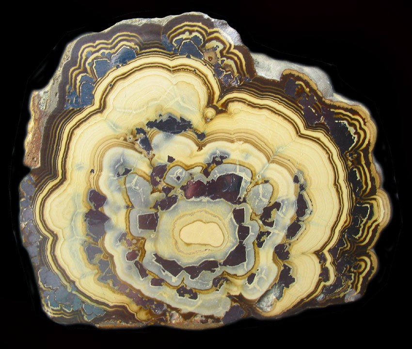
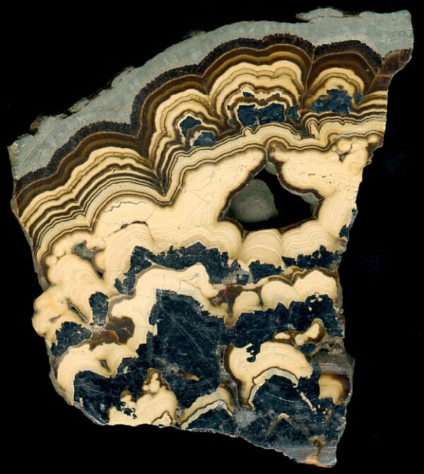


Bolesław mine, Gmina Bolesław, Olkusz County, Lesser Poland Voivodeship, Poland