| Locality | Latitude | Longitude | Distance | Bearing |
|---|
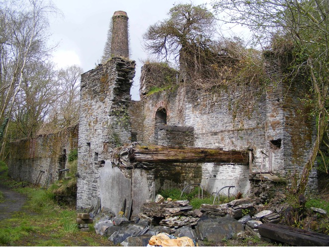
| Clicker Tor Quarry, Lower Clicker, Menheniot, Cornwall, England, UK | 50° 25' 36" N | 4° 24' 53" W | 0.0km (0.0 miles) | |
| Lower Clicker, Menheniot, Cornwall, England, UK | 50° 25' 27" N | 4° 24' 34" W | 0.5km (0.3 miles) | |
| Horningtops, St Keyne, Cornwall, England, UK | 50° 25' 27" N | 4° 25' 54" W | 1.2km (0.8 miles) | |
| Lean Quarry, Horningtops, St Keyne, Cornwall, England, UK | 50° 25' 34" N | 4° 26' 34" W | 2.0km (1.2 miles) | |
| Wheal Mary Ann, Menheniot, Cornwall, England, UK | 50° 26' 41" N | 4° 24' 41" W | 2.0km (1.3 miles) | |
| Roseland, Menheniot, Cornwall, England, UK | 50° 26' 32" N | 4° 25' 48" W | 2.1km (1.3 miles) | |
| Wheal Trelawny (incl. Wheal Honey), Menheniot, Cornwall, England, UK | 50° 26' 44" N | 4° 24' 41" W | 2.1km (1.3 miles) | |
| West Wheal Mary Ann (West Mary Ann Mine), Roseland, Menheniot, Cornwall, England, UK | 50° 26' 49" N | 4° 25' 42" W | 2.5km (1.5 miles) | |
| Wheal Trehane, Menheniot, Cornwall, England, UK | 50° 27' 1" N | 4° 24' 47" W | 2.6km (1.6 miles) | |
| Wheal Treweatha, Menheniot, Cornwall, England, UK | 50° 27' 55" N | 4° 24' 31" W | 4.3km (2.7 miles) | |
| North Trelawny Mine, Wrey and Ludcott United Mines, St Ive, Cornwall, England, UK | 50° 27' 56" N | 4° 24' 4" W | 4.4km (2.8 miles) | |
| Wheal Ludcott, Wrey and Ludcott United Mines, St Ive, Cornwall, England, UK | 50° 28' 9" N | 4° 23' 55" W | 4.9km (3.0 miles) | |
| Hendra Bridge Mine, Hendra Bridge, Liskeard, Cornwall, England, UK | 50° 28' 0" N | 4° 26' 53" W | 5.0km (3.1 miles) | |
| Wheal Wrey, Wrey and Ludcott United Mines, St Ive, Cornwall, England, UK | 50° 28' 22" N | 4° 23' 54" W | 5.2km (3.3 miles) | |
| Penhawger Mine, Menheniot, Cornwall, England, UK | 50° 28' 45" N | 4° 24' 32" W | 5.9km (3.6 miles) | |
| Looe Mills Hill Quarry, Looe Mills, Liskeard, Cornwall, England, UK | 50° 27' 20" N | 4° 29' 25" W | 6.2km (3.9 miles) | |
| Wheal Gill (Hayford Mine), Cutkive Wood, St Cleer, Cornwall, England, UK | 50° 28' 57" N | 4° 24' 22" W | 6.2km (3.9 miles) | |
| Cutkive Wood, St Cleer, Cornwall, England, UK | 50° 28' 59" N | 4° 24' 36" W | 6.3km (3.9 miles) | |
| Looe Mills, Liskeard, Cornwall, England, UK | 50° 27' 22" N | 4° 29' 30" W | 6.4km (3.9 miles) | |
| Cutlinwith Farm, Landrake, Saltash, Cornwall, England, UK | 50° 25' 13" N | 4° 19' 22" W | 6.5km (4.1 miles) | |
| Herodscombe Mine, Herodsfoot, Duloe, Cornwall, England, UK | 50° 24' 58" N | 4° 30' 29" W | 6.7km (4.2 miles) | |
| Trebeigh Consols (Trebeigh Mine), Gang, St Ive, Cornwall, England, UK | 50° 29' 8" N | 4° 23' 37" W | 6.7km (4.2 miles) | |
| Liskeard Consols, St Cleer, Cornwall, England, UK | 50° 28' 32" N | 4° 28' 27" W | 6.9km (4.3 miles) | |
| North Wheal Wrey and Julia, Trebeigh Consols (Trebeigh Mine), Gang, St Ive, Cornwall, England, UK | 50° 29' 18" N | 4° 23' 28" W | 7.1km (4.4 miles) | |
| Herodsfoot, Duloe, Cornwall, England, UK | 50° 25' 0" N | 4° 30' 52" W | 7.2km (4.4 miles) | |
| Herodsfoot, Lanreath, Cornwall, England, UK | 50° 25' 0" N | 4° 30' 53" W | 7.2km (4.5 miles) | |
| Herodsfoot, St Pinnock, Cornwall, England, UK | 50° 25' 1" N | 4° 30' 55" W | 7.2km (4.5 miles) | |
| Gang, St Ive, Cornwall, England, UK | 50° 29' 23" N | 4° 23' 10" W | 7.3km (4.5 miles) | |
| Herodsfoot Mine (North Herodsfoot Mine), Lanreath, Cornwall, England, UK | 50° 24' 42" N | 4° 31' 0" W | 7.4km (4.6 miles) | |
| New Trelawny Mine (Gang Mine), Gang, St Ive, Cornwall, England, UK | 50° 29' 25" N | 4° 22' 58" W | 7.4km (4.6 miles) | |


West Wheal Mary Ann, Roseland, Menheniot, Cornwall, England, UK