GRN grid region: N38W26
A grid 'square' of approximately 160km x 160km, part of the Global Reference Network of 19,833 grid cells covering the Earth.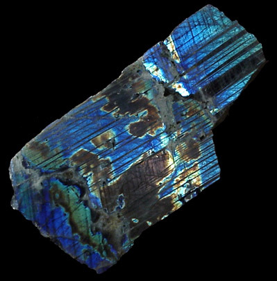


Northeast Corner:
57 0'0'' N , 61 12'0'' W ( 57,-61.2 )
Southwest Corner:
55 30'0'' N , 63 38'53'' W ( 55.5,-63.6483 )
Climate:
Select Mineral List Type
Standard Detailed Gallery Strunz Chemical ElementsCommodity List
This is a list of exploitable or exploited mineral commodities recorded at this locality.Mineral List
61 valid minerals.
Rock Types Recorded
Note: data is currently VERY limited. Please bear with us while we work towards adding this information!
Select Rock List Type
Alphabetical List Tree DiagramLocalities within grid area
- Newfoundland and Labrador
- Labrador
- Mistastin Lake Crater
- Mushuau intrusion
- Nain Complex
- Ikkinikulluit Brook
- Kikkertavak Island
- Labrador
- Newfoundland and Labrador
- Labrador
- Nain Complex
- Paul Island
- Tabor Island
- Slambang Bay
- Voisey´s Bay
- Nain Complex
- Labrador


Nain Complex, Labrador, Newfoundland and Labrador, Canada