| Locality | Latitude | Longitude | Distance | Bearing |
|---|
| Ginau, St. Johann im Pongau, St. Johann im Pongau District, Salzburg, Austria | 47° 21' 34" N | 13° 15' 36" E | 1.3km (0.8 miles) | |
| Grub, St. Johann im Pongau, St. Johann im Pongau District, Salzburg, Austria | 47° 20' 50" N | 13° 16' 3" E | 1.4km (0.8 miles) | |
| Manganese prospects, St. Johann im Pongau, St. Johann im Pongau District, Salzburg, Austria | 47° 20' 7" N | 13° 13' 42" E | 2.3km (1.4 miles) | |
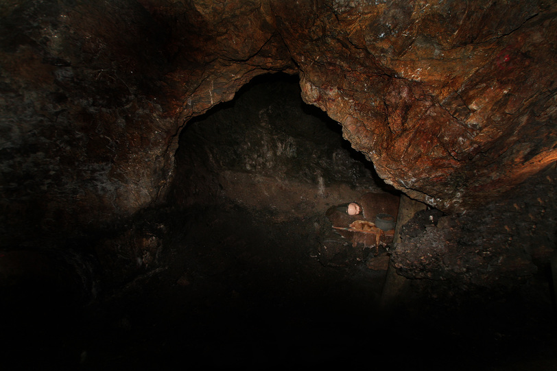
| Grubhöhe Inn, St. Johann im Pongau, St. Johann im Pongau District, Salzburg, Austria | 47° 19' 56" N | 13° 13' 28" E | 2.7km (1.7 miles) | |
| Mitterberg copper smelter, Mitterberghütten, Bischofshofen, St. Johann im Pongau District, Salzburg, Austria | 47° 23' 52" N | 13° 13' 4" E | 5.9km (3.6 miles) | |
| Palfnerkogel, Mitterberg mining district, Mühlbach am Hochkönig, St. Johann im Pongau District, Salzburg, Austria | 47° 22' 34" N | 13° 10' 44" E | 6.1km (3.8 miles) | |
| Liechtenstein gorge, Grossarl, St. Johann im Pongau District, Salzburg, Austria | 47° 18' 38" N | 13° 11' 26" E | 6.2km (3.9 miles) | |
| Vorderkleinarl, Kleinarl, St. Johann im Pongau District, Salzburg, Austria | 47° 17' 59" N | 13° 17' 45" E | 6.6km (4.1 miles) | |
| Götschenberg, Bischofshofen, St. Johann im Pongau District, Salzburg, Austria | 47° 24' 10" N | 13° 12' 39" E | 6.6km (4.1 miles) | |
| Seyfriedgraben, Wagrain, St. Johann im Pongau District, Salzburg, Austria | 47° 18' 36" N | 13° 18' 59" E | 6.7km (4.2 miles) | |
| Golegg Mine, Lambach, Grossarl, St. Johann im Pongau District, Salzburg, Austria | 47° 17' 15" N | 13° 13' 13" E | 7.3km (4.5 miles) | |
| Schneeleiten, Wagrain, St. Johann im Pongau District, Salzburg, Austria | 47° 18' 30" N | 13° 19' 32" E | 7.3km (4.6 miles) | |
| Lambach, Grossarl, St. Johann im Pongau District, Salzburg, Austria | 47° 16' 52" N | 13° 13' 12" E | 8.0km (5.0 miles) | |
| Au, Lambach, Grossarl, St. Johann im Pongau District, Salzburg, Austria | 47° 16' 46" N | 13° 13' 16" E | 8.1km (5.1 miles) | |
| Buchberg mine, Pöham, Bischofshofen, St. Johann im Pongau District, Salzburg, Austria | 47° 25' 25" N | 13° 14' 24" E | 8.2km (5.1 miles) | |
| Raidlgraben, Fritzbach valley, Pöham, Bischofshofen, St. Johann im Pongau District, Salzburg, Austria | 47° 25' 30" N | 13° 15' 3" E | 8.4km (5.2 miles) | |
| B 311 road tunnel, Schwarzach im Pongau, St. Johann im Pongau District, Salzburg, Austria | 47° 19' 24" N | 13° 8' 27" E | 8.7km (5.4 miles) | |
| Arthur adit, Mitterberg mining district, Mühlbach am Hochkönig, St. Johann im Pongau District, Salzburg, Austria | 47° 22' 34" N | 13° 8' 18" E | 8.9km (5.5 miles) | |
| Emil adit, Mitterberg mining district, Mühlbach am Hochkönig, St. Johann im Pongau District, Salzburg, Austria | 47° 22' 37" N | 13° 8' 16" E | 9.0km (5.6 miles) | |
| Pöham, Bischofshofen, St. Johann im Pongau District, Salzburg, Austria | 47° 25' 50" N | 13° 15' 24" E | 9.0km (5.6 miles) | |
| Fritzbach valley, Pöham, Bischofshofen, St. Johann im Pongau District, Salzburg, Austria | 47° 25' 51" N | 13° 14' 37" E | 9.0km (5.6 miles) | |
| Flachenberg mine, Bischofshofen, St. Johann im Pongau District, Salzburg, Austria | 47° 25' 32" N | 13° 12' 24" E | 9.0km (5.6 miles) | |
| Larzenbachgraben (Larzenbach), Hüttau, St. Johann im Pongau District, Salzburg, Austria | 47° 25' 14" N | 13° 18' 45" E | 9.2km (5.7 miles) | |
| Lambachgraben, Lambach, Grossarl, St. Johann im Pongau District, Salzburg, Austria | 47° 15' 59" N | 13° 15' 26" E | 9.3km (5.8 miles) | |
| Plojergraben, Hinterkleinarl, Kleinarl, St. Johann im Pongau District, Salzburg, Austria | 47° 16' 28" N | 13° 18' 19" E | 9.4km (5.8 miles) | |
| Copper mine, Sankt Veit im Pongau, St. Johann im Pongau District, Salzburg, Austria | 47° 20' 27" N | 13° 7' 29" E | 9.5km (5.9 miles) | |
| Höllwand mountain, Grossarl, St. Johann im Pongau District, Salzburg, Austria | 47° 16' 57" N | 13° 9' 53" E | 9.9km (6.1 miles) | |
| Stuhlgraben, Hinterkleinarl, Kleinarl, St. Johann im Pongau District, Salzburg, Austria | 47° 16' 43" N | 13° 19' 59" E | 10.1km (6.3 miles) | |
| Brennerkopf, Mitterberg mining district, Mühlbach am Hochkönig, St. Johann im Pongau District, Salzburg, Austria | 47° 21' 42" N | 13° 6' 59" E | 10.1km (6.3 miles) | |
| Oberuntersberg, Sankt Veit im Pongau, St. Johann im Pongau District, Salzburg, Austria | 47° 18' 26" N | 13° 7' 48" E | 10.2km (6.3 miles) | |


Copper mine, Sankt Veit im Pongau, St. Johann im Pongau District, Salzburg, Austria