| Locality | Latitude | Longitude | Distance | Bearing |
|---|
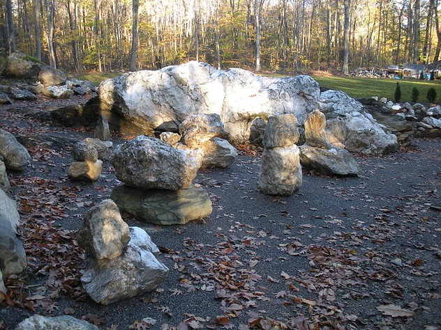
| Soapstone quarry, Torrington (Wolcottville), Litchfield County, Connecticut, USA | 41° 48' 26" N | 73° 10' 37" W | 0.0km (0.0 miles) | |
| West Torrington nickel mines (Coe Copper Mine; Hodges Mine; Barber Mine; Torrington Nickel Mine), Torrington (Wolcottville), Litchfield County, Connecticut, USA | 41° 49' 57" N | 73° 9' 56" W | 2.9km (1.8 miles) | |
| Town Farm Road, Litchfield, Litchfield County, Connecticut, USA | 41° 46' 49" N | 73° 10' 14" W | 3.1km (1.9 miles) | |
| Torrington (Wolcottville), Litchfield County, Connecticut, USA | 41° 48' 4" N | 73° 7' 16" W | 4.7km (2.9 miles) | |
| East Branch Dam (Newfield Dam), Torrington (Wolcottville), Litchfield County, Connecticut, USA | 41° 50' 10" N | 73° 7' 17" W | 5.6km (3.5 miles) | |
| South Main Street construction site, Torrington (Wolcottville), Litchfield County, Connecticut, USA | 41° 46' 53" N | 73° 7' 8" W | 5.6km (3.5 miles) | |
| Mountain Top Trucking quarry, Torrington (Wolcottville), Litchfield County, Connecticut, USA | 41° 49' 45" N | 73° 6' 38" W | 6.0km (3.7 miles) | |
| State Route 118 Bantam River bridge, Litchfield, Litchfield County, Connecticut, USA | 41° 44' 49" N | 73° 10' 45" W | 6.7km (4.2 miles) | |
| Litchfield, Litchfield County, Connecticut, USA | 41° 44' 49" N | 73° 11' 20" W | 6.8km (4.2 miles) | |
| State Routes 8 and 118 interchange, Harwinton, Litchfield County, Connecticut, USA | 41° 45' 27" N | 73° 6' 55" W | 7.6km (4.7 miles) | |
| Torringford, Torrington (Wolcottville), Litchfield County, Connecticut, USA | 41° 49' 15" N | 73° 4' 50" W | 8.1km (5.1 miles) | |
| Pegmatite quarry and ultramafic rock, Harwinton, Litchfield County, Connecticut, USA | 41° 45' 58" N | 73° 5' 12" W | 8.8km (5.5 miles) | |
| Hardy Mine (Smith Mine; Connecticut Mining Co. Mine), Mount Prospect complex (Prospect Hill complex; Prospect Mountain complex), Litchfield, Litchfield County, Connecticut, USA | 41° 44' 33" N | 73° 15' 43" W | 10.1km (6.3 miles) | |
| Pool Mine (T. M. Mitchell Mine), Mount Prospect complex (Prospect Hill complex; Prospect Mountain complex), Litchfield, Litchfield County, Connecticut, USA | 41° 44' 21" N | 73° 15' 30" W | 10.2km (6.3 miles) | |
| Mount Prospect complex (Prospect Hill complex; Prospect Mountain complex), Litchfield, Litchfield County, Connecticut, USA | 41° 44' 21" N | 73° 15' 50" W | 10.4km (6.5 miles) | |
| Harwinton stibnite locality, Harwinton, Litchfield County, Connecticut, USA | 41° 46' 15" N | 73° 3' 34" W | 10.5km (6.6 miles) | |
| Harwinton, Litchfield County, Connecticut, USA | 41° 46' 15" N | 73° 3' 34" W | 10.5km (6.6 miles) | |
| O & G Burrville Quarry (O & G No. 4 Quarry), Torrington (Wolcottville), Litchfield County, Connecticut, USA | 41° 52' 23" N | 73° 5' 2" W | 10.6km (6.6 miles) | |
| Grannis Mine, Mount Prospect complex (Prospect Hill complex; Prospect Mountain complex), Litchfield, Litchfield County, Connecticut, USA | 41° 44' 15" N | 73° 16' 20" W | 11.1km (6.9 miles) | |
| Buck Mine (T. M. Mitchell Mine), Mount Prospect complex (Prospect Hill complex; Prospect Mountain complex), Litchfield, Litchfield County, Connecticut, USA | 41° 43' 46" N | 73° 15' 44" W | 11.2km (6.9 miles) | |
| Curtis Mine (Sneveley Mine; Johnson Mine), Mount Prospect complex (Prospect Hill complex; Prospect Mountain complex), Litchfield, Litchfield County, Connecticut, USA | 41° 43' 59" N | 73° 16' 28" W | 11.5km (7.2 miles) | |
| T. M. Mitchell Mine (Wheeler Mine; Connecticut Mining Co. Mine; Nickel Mining and Smelting Co. Mine), Mount Prospect complex (Prospect Hill complex; Prospect Mountain complex), Litchfield, Litchfield County, Connecticut, USA | 41° 43' 30" N | 73° 15' 49" W | 11.6km (7.2 miles) | |
| Serpentinite, Norfolk, Litchfield County, Connecticut, USA | 41° 54' 56" N | 73° 11' 8" W | 12.0km (7.5 miles) | |
| Rock Brook, Harwinton, Litchfield County, Connecticut, USA | 41° 44' 43" N | 73° 2' 56" W | 12.7km (7.9 miles) | |
| Cornwall Hollow, Cornwall, Litchfield County, Connecticut, USA | 41° 53' 46" N | 73° 16' 56" W | 13.2km (8.2 miles) | |
| Cornwall, Litchfield County, Connecticut, USA | 41° 50' 37" N | 73° 19' 48" W | 13.3km (8.3 miles) | |
| Lead Mine Brook, Harwinton, Litchfield County, Connecticut, USA | 41° 43' 17" N | 73° 3' 24" W | 13.8km (8.6 miles) | |
| Morris Dam Quarry (East Morris Dam), Morris, Litchfield County, Connecticut, USA | 41° 40' 27" N | 73° 8' 49" W | 15.0km (9.3 miles) | |
| Thomaston Dam railroad cut, Thomaston Dam, Thomaston, Litchfield County, Connecticut, USA | 41° 41' 50" N | 73° 4' 5" W | 15.2km (9.5 miles) | |
| Lead Mine brook, Thomaston, Litchfield County, Connecticut, USA | 41° 42' 10" N | 73° 3' 28" W | 15.3km (9.5 miles) | |


Coe's Mine, Litchfield, Litchfield County, Connecticut, USA