| Locality | Latitude | Longitude | Distance | Bearing |
|---|
| Smallcleugh Mine, Nenthead, Alston Moor, Eden, Cumbria, England, UK | 54° 46' 52" N | 2° 19' 46" W | 0.0km (0.0 miles) | |
| Carrs Mine, Nenthead, Alston Moor, Eden, Cumbria, England, UK | 54° 46' 59" N | 2° 20' 3" W | 0.4km (0.2 miles) | |
| Middlecleugh Upper Level, Nenthead, Alston Moor, Eden, Cumbria, England, UK | 54° 46' 36" N | 2° 19' 35" W | 0.5km (0.3 miles) | |
| Shawside Colliery, Alston Moor, Eden, Cumbria, England, UK | 54° 46' 43" N | 2° 20' 14" W | 0.6km (0.4 miles) | |
| Rampgill Mine, Nenthead, Alston Moor, Eden, Cumbria, England, UK | 54° 47' 8" N | 2° 20' 20" W | 0.8km (0.5 miles) | |
| Nenthead, Alston Moor, Eden, Cumbria, England, UK | 54° 47' 8" N | 2° 20' 26" W | 0.8km (0.5 miles) | |
| Caplecleugh Mine, Nenthead, Alston Moor, Eden, Cumbria, England, UK | 54° 47' 8" N | 2° 20' 26" W | 0.9km (0.5 miles) | |
| Rampgill Mill, Nenthead, Alston Moor, Eden, Cumbria, England, UK | 54° 47' 17" N | 2° 20' 35" W | 1.1km (0.7 miles) | |
| Dowgang Colliery, Alston Moor, Eden, Cumbria, England, UK | 54° 46' 44" N | 2° 20' 56" W | 1.3km (0.8 miles) | |
| Brownley Hill Mine (Bloomsberry Horse Level), Nenthead, Alston Moor, Eden, Cumbria, England, UK | 54° 47' 47" N | 2° 20' 53" W | 2.1km (1.3 miles) | |
| Coalcleugh Pits, West Allen, Northumberland, England, UK | 54° 47' 44" N | 2° 18' 31" W | 2.1km (1.3 miles) | |
| Gudhamgill Mine, Nenthead, Alston Moor, Eden, Cumbria, England, UK | 54° 47' 54" N | 2° 20' 43" W | 2.1km (1.3 miles) | |
| Coalcleugh Mine, Coalcleugh, West Allen, Northumberland, England, UK | 54° 48' 1" N | 2° 18' 33" W | 2.5km (1.5 miles) | |
| Coalcleugh, West Allen, Northumberland, England, UK | 54° 48' 3" N | 2° 18' 40" W | 2.5km (1.5 miles) | |
| Nentsberry Haggs Mine, Alston Moor, Eden, Cumbria, England, UK | 54° 47' 58" N | 2° 21' 54" W | 3.0km (1.9 miles) | |
| Tindalfell Pits, West Allen, Northumberland, England, UK | 54° 48' 7" N | 2° 17' 35" W | 3.3km (2.0 miles) | |
| Wellhopehead Mine, West Allen, Northumberland, England, UK | 54° 48' 46" N | 2° 20' 10" W | 3.5km (2.2 miles) | |
| Killhope Burn, Stanhope, County Durham, England, UK | 54° 47' 0" N | 2° 16' 25" W | 3.6km (2.2 miles) | |
| Park Level Mine, Killhope Burn, Stanhope, County Durham, England, UK | 54° 46' 55" N | 2° 16' 19" W | 3.7km (2.3 miles) | |
| Peter‘s Pits, West Allen, Northumberland, England, UK | 54° 48' 54" N | 2° 19' 39" W | 3.8km (2.3 miles) | |
| Wellhope Shaft dumps, West Allen, Northumberland, England, UK | 54° 48' 51" N | 2° 20' 43" W | 3.8km (2.4 miles) | |
| Ashgillfield Mine (Ashgill Fields Mine), Alston Moor, Eden, Cumbria, England, UK | 54° 45' 30" N | 2° 22' 37" W | 4.0km (2.5 miles) | |
| Barneycraig Mine, Coalcleugh, West Allen, Northumberland, England, UK | 54° 48' 51" N | 2° 18' 18" W | 4.0km (2.5 miles) | |
| Scraithole Mine, Carrshield, West Allen, Northumberland, England, UK | 54° 48' 59" N | 2° 18' 23" W | 4.2km (2.6 miles) | |
| Hudgill Burn Mine, Alston Moor, Eden, Cumbria, England, UK | 54° 48' 9" N | 2° 23' 14" W | 4.4km (2.7 miles) | |
| Wellheads Hush, Stanhope, County Durham, England, UK | 54° 45' 29" N | 2° 16' 19" W | 4.5km (2.8 miles) | |
| Garrigill, Alston Moor, Eden, Cumbria, England, UK | 54° 46' 0" N | 2° 23' 48" W | 4.6km (2.9 miles) | |
| Cowhorse Mine, Killhope Burn, Stanhope, County Durham, England, UK | 54° 46' 27" N | 2° 15' 29" W | 4.7km (2.9 miles) | |
| Carrshield, West Allen, Northumberland, England, UK | 54° 49' 23" N | 2° 18' 30" W | 4.9km (3.0 miles) | |
| Swinhope Moor, Allendale, Northumberland, England, UK | 54° 48' 46" N | 2° 16' 20" W | 5.1km (3.2 miles) | |
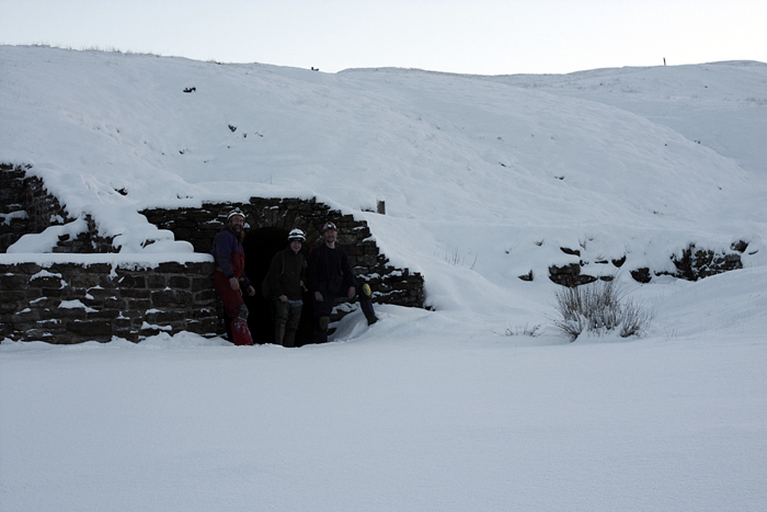


Smallcleugh Mine, Nenthead, Alston Moor, Eden, Cumbria, England, UK