| Locality | Latitude | Longitude | Distance | Bearing |
|---|
| Copperas Hill, Cuttingsville, Shrewsbury, Rutland County, Vermont, USA | 43° 29' 41" N | 72° 52' 5" W | 3.6km (2.2 miles) | |
| Copperas Hill Mines, Copperas Hill, Cuttingsville, Shrewsbury, Rutland County, Vermont, USA | 43° 29' 27" N | 72° 52' 24" W | 4.1km (2.6 miles) | |
| Copperas Hill railroad cut, Copperas Hill, Cuttingsville, Shrewsbury, Rutland County, Vermont, USA | 43° 29' 20" N | 72° 52' 39" W | 4.5km (2.8 miles) | |
| Cuttingsville, Shrewsbury, Rutland County, Vermont, USA | 43° 29' 17" N | 72° 52' 53" W | 4.7km (2.9 miles) | |
| Granite Hill, Cuttingsville, Shrewsbury, Rutland County, Vermont, USA | 43° 28' 59" N | 72° 53' 41" W | 5.7km (3.6 miles) | |
| Round Hill, Shrewsbury, Rutland County, Vermont, USA | 43° 33' 30" N | 72° 55' 27" W | 6.7km (4.2 miles) | |
| East Wallingford, Wallingford, Rutland County, Vermont, USA | 43° 27' 0" N | 72° 52' 33" W | 8.6km (5.3 miles) | |
| J.P. Carrara & Sons Quarry, Clarendon, Rutland County, Vermont, USA | 43° 34' 9" N | 72° 57' 39" W | 9.8km (6.1 miles) | |
| Mount Holly, Rutland County, Vermont, USA | 43° 26' 21" N | 72° 48' 38" W | 10.3km (6.4 miles) | |
| Wallingford, Rutland County, Vermont, USA | 43° 27' 28" N | 72° 56' 48" W | 10.6km (6.6 miles) | |
| Plymouth, Windsor County, Vermont, USA | 43° 31' 54" N | 72° 43' 18" W | 10.8km (6.7 miles) | |
| Belmont, Mount Holly, Rutland County, Vermont, USA | 43° 24' 56" N | 72° 49' 19" W | 12.5km (7.8 miles) | |
| Tyson, Plymouth, Windsor County, Vermont, USA | 43° 27' 54" N | 72° 42' 17" W | 13.9km (8.6 miles) | |
| Buffalo Brook (Gold Brook), Tyson, Plymouth, Windsor County, Vermont, USA | 43° 28' 57" N | 72° 41' 36" W | 13.9km (8.6 miles) | |
| Blue Fox Mine, Plymouth, Windsor County, Vermont, USA | 43° 29' 11" N | 72° 41' 17" W | 14.2km (8.8 miles) | |
| Five Corners, Plymouth, Windsor County, Vermont, USA | 43° 31' 36" N | 72° 40' 37" W | 14.3km (8.9 miles) | |
| Green Mountain Marble Quarry, West Rutland, Rutland County, Vermont, USA | 43° 33' 17" N | 73° 1' 45" W | 14.4km (9.0 miles) | |
| Weaver Hill, Tyson, Plymouth, Windsor County, Vermont, USA | 43° 28' 5" N | 72° 41' 20" W | 14.8km (9.2 miles) | |
| Route 103 road cut, Ludlow, Windsor County, Vermont, USA | 43° 25' 48" N | 72° 43' 15" W | 15.2km (9.4 miles) | |
| Rutland, Rutland County, Vermont, USA | 43° 37' 50" N | 72° 58' 40" W | 15.3km (9.5 miles) | |
| Center Rutland, Rutland, Rutland County, Vermont, USA | 43° 36' 17" N | 73° 0' 39" W | 15.4km (9.5 miles) | |
| Hinchman prospect, Windsor County, Vermont, USA | 43° 31' 9" N | 72° 39' 40" W | 15.6km (9.7 miles) | |
| Killington, Rutland County, Vermont, USA | 43° 39' 52" N | 72° 47' 35" W | 16.2km (10.1 miles) | |
| Vail mine, Wallingford, Rutland County, Vermont, USA | 43° 24' 14" N | 72° 58' 58" W | 17.0km (10.6 miles) | |
| Vermont Marble Company Quarry, West Rutland, Rutland County, Vermont, USA | 43° 35' 35" N | 73° 2' 43" W | 17.1km (10.6 miles) | |
| Taggart Mine, Bridgewater, Windsor County, Vermont, USA | 43° 37' 15" N | 72° 41' 4" W | 17.3km (10.8 miles) | |
| West Rutland, Rutland County, Vermont, USA | 43° 35' 53" N | 73° 3' 2" W | 17.7km (11.0 miles) | |
| Broad Brook placer, Five Corners, Plymouth, Windsor County, Vermont, USA | 43° 35' 11" N | 72° 39' 5" W | 17.7km (11.0 miles) | |
| Ludlow, Windsor County, Vermont, USA | 43° 23' 45" N | 72° 42' 15" W | 18.9km (11.7 miles) | |
| Devil's Den, Mount Tabor, Rutland County, Vermont, USA | 43° 20' 41" N | 72° 52' 58" W | 20.2km (12.6 miles) | |


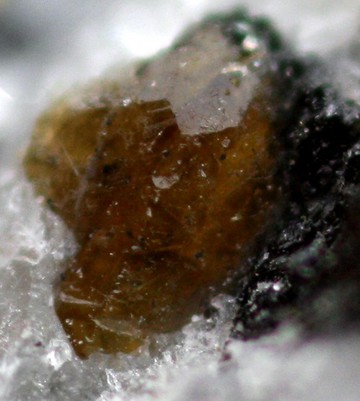
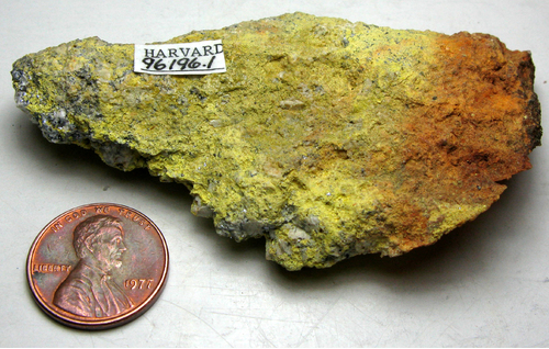


Granite Hill, Cuttingsville, Shrewsbury, Rutland County, Vermont, USA