| Locality | Latitude | Longitude | Distance | Bearing |
|---|
| Snarum, Modum, Buskerud, Norway | 60° 1' 24" N | 9° 52' 34" E | 0.0km (0.0 miles) | |
| Lofthus, Snarum, Modum, Buskerud, Norway | 60° 1' 28" N | 9° 52' 1" E | 0.5km (0.3 miles) | |
| Hilsen Farm, Snarum, Modum, Buskerud, Norway | 60° 1' 8" N | 9° 52' 16" E | 0.6km (0.4 miles) | |
| Olafsby, Snarum, Modum, Buskerud, Norway | 60° 1' 53" N | 9° 52' 15" E | 0.9km (0.6 miles) | |
| Jupedal Mine, Modum West, Modum, Buskerud, Norway | 60° 0' 57" N | 9° 50' 11" E | 2.4km (1.5 miles) | |
| Nedre Langerud Magnesite Quarry, Langerud, Snarum, Modum, Buskerud, Norway | 60° 1' 55" N | 9° 50' 11" E | 2.4km (1.5 miles) | |
| Øvre Langerud Magnesite Quarry, Langerud, Snarum, Modum, Buskerud, Norway | 60° 1' 52" N | 9° 50' 8" E | 2.4km (1.5 miles) | |
| Nesbruddet, Snarum, Modum, Buskerud, Norway | 60° 1' 34" N | 9° 49' 58" E | 2.4km (1.5 miles) | |
| Delesteinåsen, Modum, Buskerud, Norway | 60° 0' 1" N | 9° 52' 18" E | 2.6km (1.6 miles) | |
| Langerud, Snarum, Modum, Buskerud, Norway | 60° 2' 30" N | 9° 50' 20" E | 2.9km (1.8 miles) | |
| Døvikkollen, Modum West, Modum, Buskerud, Norway | 60° 1' 47" N | 9° 49' 19" E | 3.1km (1.9 miles) | |
| Svartfjell Mines, Modum West, Modum, Buskerud, Norway | 60° 2' 37" N | 9° 49' 28" E | 3.6km (2.3 miles) | |
| Middagshvila Mine, Såstad Mines, Modum West, Modum, Buskerud, Norway | 59° 59' 18" N | 9° 51' 56" E | 3.9km (2.4 miles) | |
| Såstad Mines, Modum West, Modum, Buskerud, Norway | 59° 59' 12" N | 9° 51' 51" E | 4.1km (2.6 miles) | |
| Middagshvilegruve, Skuterud Mines, Modum West, Modum, Buskerud, Norway | 59° 59' 12" N | 9° 51' 50" E | 4.1km (2.6 miles) | |
| Nedre Dypingdal Mine, Dypingdal serpentine-magnesite deposit, Snarum, Modum, Buskerud, Norway | 60° 3' 38" N | 9° 52' 30" E | 4.1km (2.6 miles) | |
| Heggebekk Mine, Modum West, Modum, Buskerud, Norway | 60° 3' 10" N | 9° 49' 27" E | 4.4km (2.7 miles) | |
| Snarum Quarry, Snarum, Modum, Buskerud, Norway | 60° 3' 44" N | 9° 51' 41" E | 4.4km (2.7 miles) | |
| Dypingdal serpentine-magnesite deposit, Snarum, Modum, Buskerud, Norway | 60° 3' 52" N | 9° 52' 33" E | 4.6km (2.8 miles) | |
| Øvre Dypingdal Mine, Dypingdal serpentine-magnesite deposit, Snarum, Modum, Buskerud, Norway | 60° 3' 53" N | 9° 52' 31" E | 4.6km (2.9 miles) | |
| Tarmen, Modum, Buskerud, Norway | 59° 59' 53" N | 9° 56' 55" E | 4.9km (3.1 miles) | |
| Mine 6, Nordgruvene, Skuterud Mines, Modum West, Modum, Buskerud, Norway | 59° 58' 46" N | 9° 51' 55" E | 4.9km (3.1 miles) | |
| Berganlia, Modum, Buskerud, Norway | 59° 58' 44" N | 9° 52' 15" E | 5.0km (3.1 miles) | |
| Aslaksby, Modum, Buskerud, Norway | 59° 58' 44" N | 9° 52' 15" E | 5.0km (3.1 miles) | |
| Skuterud Mines, Modum West, Modum, Buskerud, Norway | 59° 58' 48" N | 9° 51' 10" E | 5.0km (3.1 miles) | |
| Nordgruvene, Skuterud Mines, Modum West, Modum, Buskerud, Norway | 59° 58' 40" N | 9° 51' 49" E | 5.1km (3.2 miles) | |
| Sæterås, Modum, Buskerud, Norway | 59° 58' 31" N | 9° 51' 49" E | 5.4km (3.4 miles) | |
| Rødkollåsen, Modum, Buskerud, Norway | 59° 58' 31" N | 9° 51' 49" E | 5.4km (3.4 miles) | |
| Mellomgruvene, Skuterud Mines, Modum West, Modum, Buskerud, Norway | 59° 58' 26" N | 9° 51' 51" E | 5.5km (3.4 miles) | |
| Ludvig Eugen adit, Mellomgruvene, Skuterud Mines, Modum West, Modum, Buskerud, Norway | 59° 58' 25" N | 9° 52' 21" E | 5.6km (3.4 miles) | |
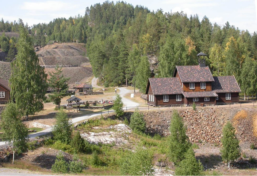


Skuterud Mines, Modum West, Modum, Buskerud, Norway