| Locality | Latitude | Longitude | Distance | Bearing |
|---|
| Henry Fox Feldspar Prospect, Lovell, Oxford County, Maine, USA | 44° 12' 38" N | 70° 52' 12" W | 0.0km (0.0 miles) | |
| Orman McAllister Quarry, Lovell, Oxford County, Maine, USA | 44° 11' 48" N | 70° 49' 53" W | 3.4km (2.1 miles) | |
| Kezar River Falls Gorge, Lovell, Oxford County, Maine, USA | 44° 11' 53" N | 70° 48' 53" W | 4.6km (2.9 miles) | |
| Beryllium Corporation prospect, Lovell, Oxford County, Maine, USA | 44° 9' 26" N | 70° 52' 13" W | 5.9km (3.7 miles) | |
| Verrill locality, Stoneham, Oxford County, Maine, USA | 44° 15' 10" N | 70° 48' 43" W | 6.6km (4.1 miles) | |
| Lord Hill Quarry (Lord Hill Mine), Stoneham, Oxford County, Maine, USA | 44° 13' 26" N | 70° 57' 11" W | 6.8km (4.2 miles) | |
| Knight #1 and #2 Quarries, Waterford, Oxford County, Maine, USA | 44° 13' 26" N | 70° 47' 8" W | 6.9km (4.3 miles) | |
| Melrose Quarry, Stoneham, Oxford County, Maine, USA | 44° 16' 5" N | 70° 55' 20" W | 7.6km (4.7 miles) | |
| Cole Quarry, Stoneham, Oxford County, Maine, USA | 44° 14' 52" N | 70° 57' 6" W | 7.7km (4.8 miles) | |
| Beryllonite Locality (Mcallister Occurrence), Stoneham, Oxford County, Maine, USA | 44° 16' 6" N | 70° 55' 27" W | 7.7km (4.8 miles) | |
| Wiley Mountain, Stow, Oxford County, Maine, USA | 44° 11' 22" N | 70° 57' 56" W | 8.0km (5.0 miles) | |
| Beech Hill Mica Quarry, Waterford, Oxford County, Maine, USA | 44° 11' 29" N | 70° 46' 5" W | 8.4km (5.2 miles) | |
| Saunders-Wheeler Prospect, Albany, Oxford County, Maine, USA | 44° 12' 21" N | 70° 45' 28" W | 8.9km (5.6 miles) | |
| Rattlesnake Mountain locality, Stoneham, Oxford County, Maine, USA | 44° 15' 5" N | 70° 58' 2" W | 9.0km (5.6 miles) | |
| Colton Hill, Stow, Oxford County, Maine, USA | 44° 12' 33" N | 70° 59' 2" W | 9.1km (5.6 miles) | |
| Intergalactic Pit, Deer Hill, Stow, Oxford County, Maine, USA | 44° 14' 8" N | 70° 59' 11" W | 9.7km (6.0 miles) | |
| Eastman Quarry, Deer Hill, Stow, Oxford County, Maine, USA | 44° 14' 8" N | 70° 59' 12" W | 9.7km (6.0 miles) | |
| Deer Hill, Stow, Oxford County, Maine, USA | 44° 14' 8" N | 70° 59' 13" W | 9.7km (6.0 miles) | |
| Chester Holt prospect, Albany, Oxford County, Maine, USA | 44° 15' 28" N | 70° 44' 58" W | 10.9km (6.8 miles) | |
| Wardwell Quarry (Pechnic Quarry), Albany, Oxford County, Maine, USA | 44° 15' 51" N | 70° 44' 39" W | 11.6km (7.2 miles) | |
| Sugarloaf Mountain, Stoneham, Oxford County, Maine, USA | 44° 16' 23" N | 70° 59' 33" W | 12.0km (7.4 miles) | |
| Wentworth Quarry, Albany, Oxford County, Maine, USA | 44° 16' 22" N | 70° 44' 32" W | 12.3km (7.6 miles) | |
| Douglass Road Metal Quarry, Albany, Oxford County, Maine, USA | 44° 18' 37" N | 70° 46' 54" W | 13.1km (8.1 miles) | |
| Bumpus Quarry, Albany, Oxford County, Maine, USA | 44° 18' 42" N | 70° 46' 51" W | 13.3km (8.3 miles) | |
| Saltman Amethyst locality, Sweden, Oxford County, Maine, USA | 44° 7' 11" N | 70° 45' 40" W | 13.3km (8.3 miles) | |
| Millard Chandler Mine, Chatham, Carroll County, New Hampshire, USA | 44° 15' 20" N | 71° 1' 34" W | 13.4km (8.3 miles) | |
| Stearns Quarry, Albany, Oxford County, Maine, USA | 44° 17' 5" N | 70° 43' 44" W | 13.9km (8.7 miles) | |
| Slope Mountain locality, Chatham, Carroll County, New Hampshire, USA | 44° 11' 18" N | 71° 2' 36" W | 14.1km (8.7 miles) | |
| Donahue Quarry (Donahue Prospect), Albany, Oxford County, Maine, USA | 44° 20' 4" N | 70° 48' 43" W | 14.5km (9.0 miles) | |
| Oliver Stone Farm Amethyst locality, Waterford, Oxford County, Maine, USA | 44° 9' 57" N | 70° 40' 55" W | 15.8km (9.8 miles) | |
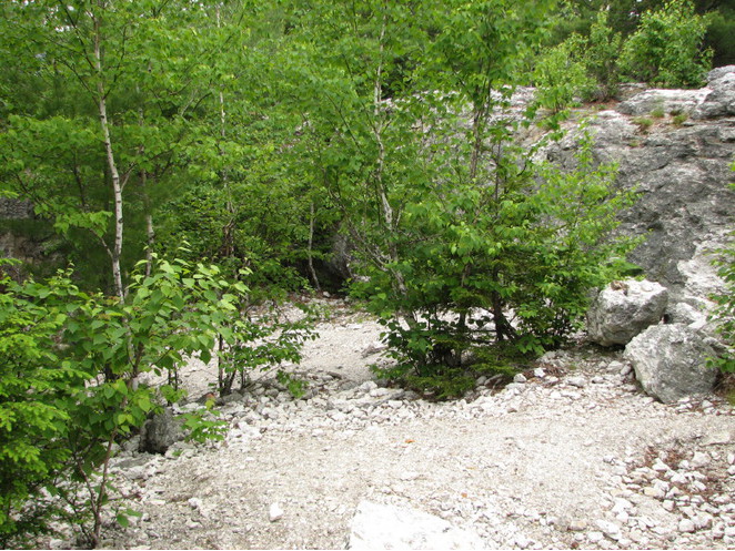
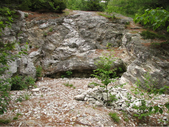


Lord Hill Quarry, Stoneham, Oxford County, Maine, USA