| Locality | Latitude | Longitude | Distance | Bearing |
|---|
| Ladock placers, Ladock, Cornwall, England, UK | 50° 19' 10" N | 4° 57' 39" W | 1.1km (0.7 miles) | |
| Silver Valley Mine, Ladock, Cornwall, England, UK | 50° 20' 14" N | 4° 56' 52" W | 1.2km (0.7 miles) | |
| Ladock iron mine, Ladock, Cornwall, England, UK | 50° 20' 6" N | 4° 55' 51" W | 2.0km (1.2 miles) | |
| Wheal Cocke (incl. Wheal Wellington), St Enoder Consols, St Enoder, Cornwall, England, UK | 50° 21' 12" N | 4° 57' 6" W | 2.7km (1.7 miles) | |
| Wheal Alice, Ladock, Cornwall, England, UK | 50° 20' 48" N | 4° 55' 45" W | 2.8km (1.7 miles) | |
| Carnwinnick Mine (Carnweneck Mine), Probus, Cornwall, England, UK | 50° 19' 36" N | 4° 54' 32" W | 3.5km (2.2 miles) | |
| Wheal Blencowe (Wheal Blanco; Wheal Lambert), St Stephen, St Stephen-in-Brannel, Cornwall, England, UK | 50° 20' 8" N | 4° 54' 33" W | 3.5km (2.2 miles) | |
| Tolgarrick Mine, St Stephen, St Stephen-in-Brannel, Cornwall, England, UK | 50° 19' 50" N | 4° 54' 15" W | 3.8km (2.4 miles) | |
| New Terras Mine (Terras Mine), St Stephen, St Stephen-in-Brannel, Cornwall, England, UK | 50° 20' 14" N | 4° 54' 19" W | 3.8km (2.4 miles) | |
| South Terras Mine (Resugga & Tolgarrick Mine; Union Mine; Uranium Mine), St Stephen-in-Brannel, Cornwall, England, UK | 50° 20' 7" N | 4° 54' 16" W | 3.8km (2.4 miles) | |
| Trefullock Mine, Trefullock United Mines, St Enoder Consols, St Enoder, Cornwall, England, UK | 50° 21' 51" N | 4° 57' 20" W | 3.9km (2.4 miles) | |
| Chapel Town, St Enoder, Cornwall, England, UK | 50° 21' 46" N | 4° 58' 51" W | 4.1km (2.5 miles) | |
| Dyer's Quarry, Chytane, St Enoder, Cornwall, England, UK | 50° 21' 42" N | 4° 55' 45" W | 4.1km (2.6 miles) | |
| Chytane, St Enoder, Cornwall, England, UK | 50° 21' 59" N | 4° 56' 50" W | 4.2km (2.6 miles) | |
| Crowhill Mine (Crow Hill Mine; New Crow Hill Mine; Trevanion Mine), Crow Hill, St Stephen-in-Brannel, Cornwall, England, UK | 50° 19' 20" N | 4° 53' 56" W | 4.3km (2.6 miles) | |
| Crow Hill, St Stephen-in-Brannel, Cornwall, England, UK | 50° 19' 25" N | 4° 53' 48" W | 4.4km (2.7 miles) | |
| Melbur, St Stephen-in-Brannel, Cornwall, England, UK | 50° 21' 28" N | 4° 54' 49" W | 4.5km (2.8 miles) | |
| Wheal Trevillick, Grampound with Creed, Cornwall, England, UK | 50° 18' 20" N | 4° 54' 16" W | 4.6km (2.9 miles) | |
| Pencorse Consols, St Newlyn East, Cornwall, England, UK | 50° 21' 46" N | 4° 59' 48" W | 4.6km (2.9 miles) | |
| Melbur China Clay Pit, Melbur, St Stephen-in-Brannel, Cornwall, England, UK | 50° 21' 49" N | 4° 55' 14" W | 4.7km (2.9 miles) | |
| Chytane Mine, Chytane, St Enoder, Cornwall, England, UK | 50° 22' 4" N | 4° 55' 50" W | 4.7km (2.9 miles) | |
| Wheal Louise (Wheal Louisa), Crow Hill, St Stephen-in-Brannel, Cornwall, England, UK | 50° 19' 18" N | 4° 53' 34" W | 4.7km (2.9 miles) | |
| Bodinnick Mine, Coombe, St Stephen-in-Brannel, Cornwall, England, UK | 50° 19' 55" N | 4° 53' 18" W | 4.9km (3.1 miles) | |
| St Stephen, St Stephen-in-Brannel, Cornwall, England, UK | 50° 20' 39" N | 4° 53' 31" W | 4.9km (3.1 miles) | |
| Mellangoose & Wheal Benallack China Clay Works, Fraddon, St Enoder, Cornwall, England, UK | 50° 22' 20" N | 4° 55' 28" W | 5.4km (3.3 miles) | |
| Virginia China Clay Pit, Melbur, St Stephen-in-Brannel, Cornwall, England, UK | 50° 21' 51" N | 4° 54' 19" W | 5.4km (3.3 miles) | |
| Egloshellen Mine (Gwindra Mine; Gwendra Mine), St Stephen, St Stephen-in-Brannel, Cornwall, England, UK | 50° 20' 21" N | 4° 52' 55" W | 5.5km (3.4 miles) | |
| St Enoder Consols, St Enoder, Cornwall, England, UK | 50° 22' 40" N | 4° 58' 24" W | 5.5km (3.4 miles) | |
| Mellangoose Quarry, Fraddon, St Enoder, Cornwall, England, UK | 50° 22' 15" N | 4° 54' 55" W | 5.5km (3.4 miles) | |
| Coombe, St Stephen-in-Brannel, Cornwall, England, UK | 50° 19' 39" N | 4° 52' 47" W | 5.5km (3.4 miles) | |

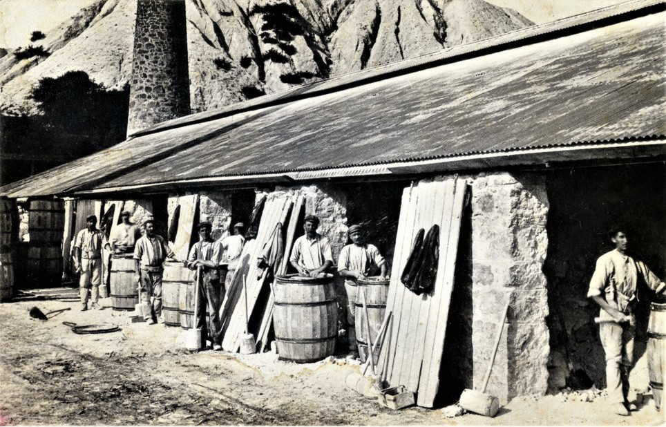


St Stephen, St Stephen-in-Brannel, Cornwall, England, UK