| Locality | Latitude | Longitude | Distance | Bearing |
|---|
| Tzére Valley (Alpe di Tzere), Champoluc, Ayas, Aosta Valley, Italy | 45° 52' 53" N | 7° 43' 35" E | 1.8km (1.1 miles) | |
| Palon di Resy, Champoluc, Ayas, Aosta Valley, Italy | 45° 52' 32" N | 7° 45' 7" E | 2.9km (1.8 miles) | |
| Blu Lake (Bleu Lake), Gobba di Rollin-Rocca di Verra ridge - Blu Lake area, Champoluc, Ayas, Aosta Valley, Italy | 45° 53' 29" N | 7° 44' 37" E | 3.5km (2.1 miles) | |
| Champoluc, Ayas, Aosta Valley, Italy | 45° 49' 53" N | 7° 43' 33" E | 4.0km (2.5 miles) | |
| Monte Rosso di Verra, Champoluc, Ayas, Aosta Valley, Italy | 45° 53' 9" N | 7° 45' 43" E | 4.1km (2.6 miles) | |
| Rocca di Verra, Gobba di Rollin-Rocca di Verra ridge - Blu Lake area, Champoluc, Ayas, Aosta Valley, Italy | 45° 54' 10" N | 7° 44' 44" E | 4.6km (2.9 miles) | |
| Forésus, Chamois, Aosta Valley, Italy | 45° 50' 36" N | 7° 38' 39" E | 6.2km (3.8 miles) | |
| Gobba di Rollin, Gobba di Rollin-Rocca di Verra ridge - Blu Lake area, Champoluc, Ayas, Aosta Valley, Italy | 45° 55' 22" N | 7° 44' 36" E | 6.6km (4.1 miles) | |
| Motta di Pletè, Breuil-Cervinia, Valtournenche, Aosta Valley, Italy | 45° 55' 5" N | 7° 39' 13" E | 7.5km (4.7 miles) | |
| Plateau Rosa Pass, Breuil-Cervinia, Valtournenche, Aosta Valley, Italy | 45° 56' 4" N | 7° 42' 27" E | 7.6km (4.7 miles) | |
| Biel, Gressoney-la-Trinité, Aosta Valley, Italy | 45° 50' 52" N | 7° 48' 49" E | 7.8km (4.8 miles) | |
| Klein Matterhorn (Chli Matterhorn), Gorner glacier area, Zermatt, Visp, Valais, Switzerland | 45° 56' 18" N | 7° 43' 55" E | 8.1km (5.0 miles) | |
| Passo di Verra area (Zwillingsjoch area), Champoluc, Ayas, Aosta Valley, Italy | 45° 55' 30" N | 7° 47' 18" E | 8.6km (5.3 miles) | |
| Polluce (Pollux), Champoluc, Ayas, Aosta Valley, Italy | 45° 55' 37" N | 7° 47' 6" E | 8.6km (5.3 miles) | |
| Gouffre des Busserailles, Valtournenche, Aosta Valley, Italy | 45° 53' 57" N | 7° 36' 59" E | 8.6km (5.3 miles) | |
| Pollux, Gorner glacier area, Zermatt, Visp, Valais, Switzerland | 45° 55' 40" N | 7° 47' 7" E | 8.6km (5.4 miles) | |
| Breithorn, Gorner glacier area, Zermatt, Visp, Valais, Switzerland | 45° 56' 19" N | 7° 45' 32" E | 8.7km (5.4 miles) | |
| Notre Dame de la Garde Chapel, Valtournenche, Aosta Valley, Italy | 45° 54' 15" N | 7° 37' 0" E | 8.8km (5.5 miles) | |
| Les Perrères Dam, Valtournenche, Aosta Valley, Italy | 45° 54' 20" N | 7° 36' 55" E | 9.0km (5.6 miles) | |
| Punta Jolanda, Gressoney-la-Trinité, Aosta Valley, Italy | 45° 50' 24" N | 7° 49' 55" E | 9.4km (5.8 miles) | |
| Theodul glacier, Gorner glacier area, Zermatt, Visp, Valais, Switzerland | 45° 57' 20" N | 7° 43' 50" E | 9.9km (6.2 miles) | |
| Cignana Lake (Tsignanaz Lake), Valtournenche, Aosta Valley, Italy | 45° 52' 56" N | 7° 35' 24" E | 9.9km (6.2 miles) | |
| Breuil-Cervinia, Valtournenche, Aosta Valley, Italy | 45° 56' 8" N | 7° 37' 49" E | 10.2km (6.3 miles) | |
| Levaz, Torgnon, Aosta Valley, Italy | 45° 50' 4" N | 7° 35' 26" E | 10.4km (6.5 miles) | |
| Schwärze (Schwärze glacier), Gorner glacier area, Zermatt, Visp, Valais, Switzerland | 45° 57' 10" N | 7° 46' 29" E | 10.6km (6.6 miles) | |
| Marmore stream, Torgnon, Aosta Valley, Italy | 45° 49' 36" N | 7° 34' 50" E | 11.4km (7.1 miles) | |
| Indren Glacier, Gressoney-la-Trinité, Aosta Valley, Italy | 45° 53' 53" N | 7° 51' 29" E | 11.5km (7.1 miles) | |
| Stolemberg Mine (Vincent Mine), Gressoney-la-Trinité, Aosta Valley, Italy | 45° 52' 50" N | 7° 51' 49" E | 11.5km (7.1 miles) | |
| Stolemberg (Stolemberg), Alagna Valsesia, Vercelli Province, Piedmont, Italy | 45° 52' 47" N | 7° 51' 56" E | 11.6km (7.2 miles) | |
| Grenz glacier, Gorner glacier area, Zermatt, Visp, Valais, Switzerland | 45° 56' 51" N | 7° 48' 55" E | 11.8km (7.3 miles) | |
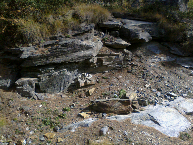


Palon di Resy, Champoluc, Ayas, Aosta Valley, Italy