| Locality | Latitude | Longitude | Distance | Bearing |
|---|
| Centreville, Culpeper Basin, Fairfax County, Virginia, USA | 38° 50' 25" N | 77° 25' 43" W | 0.0km (0.0 miles) | |
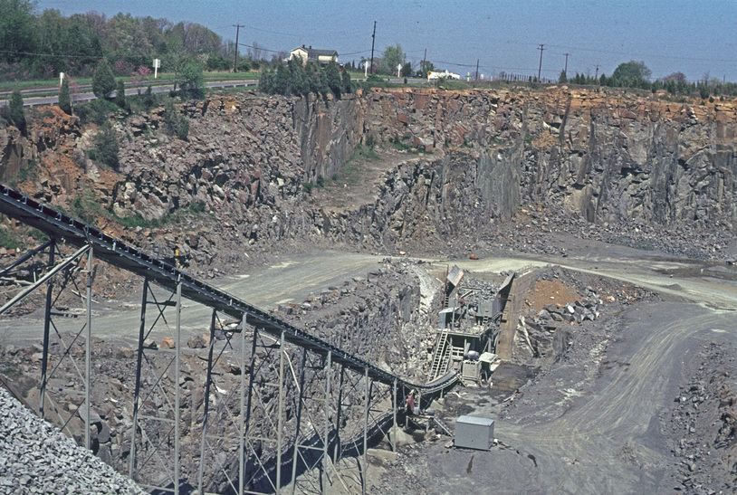
| Manassas Quarry, Fairfax County, Virginia, USA | 38° 50' 16" N | 77° 25' 50" W | 0.3km (0.2 miles) | |
| Unnamed Specularite Occurrence (MRDS - 10130606), Fairfax County, Virginia, USA | 38° 52' 11" N | 77° 24' 15" W | 3.9km (2.4 miles) | |
| Greenbriar Prospect, Culpeper Basin, Fairfax County, Virginia, USA | 38° 52' 11" N | 77° 24' 15" W | 3.9km (2.4 miles) | |
| Greenbriar, Fairfax County, Virginia, USA | 38° 52' 24" N | 77° 24' 2" W | 4.4km (2.7 miles) | |
| Chantilly Prospect B, Culpeper Basin, Fairfax County, Virginia, USA | 38° 53' 0" N | 77° 24' 56" W | 4.9km (3.1 miles) | |
| Unnamed Malachite Prospect (MRDS - 10203527), Chantilly, Fairfax County, Virginia, USA | 38° 53' 0" N | 77° 24' 54" W | 4.9km (3.1 miles) | |
| Chantilly Prospect A, Culpeper Basin, Fairfax County, Virginia, USA | 38° 53' 20" N | 77° 25' 8" W | 5.5km (3.4 miles) | |
| North Pit, Fairfax Quarry, Centreville, Culpeper Basin, Fairfax County, Virginia, USA | 38° 49' 46" N | 77° 29' 29" W | 5.6km (3.5 miles) | |
| South Pit, Fairfax Quarry, Centreville, Culpeper Basin, Fairfax County, Virginia, USA | 38° 49' 25" N | 77° 29' 24" W | 5.6km (3.5 miles) | |
| Fairfax Quarry, Centreville, Culpeper Basin, Fairfax County, Virginia, USA | 38° 49' 32" N | 77° 29' 26" W | 5.6km (3.5 miles) | |
| Shale Prospect (MRDS - 10067951), Fairfax County, Virginia, USA | 38° 48' 47" N | 77° 29' 28" W | 6.2km (3.8 miles) | |
| Highway 50 intersection, Centreville, Culpeper Basin, Fairfax County, Virginia, USA | 38° 51' 43" N | 77° 21' 3" W | 7.2km (4.5 miles) | |
| Shale Prospect (MRDS - 10067948), Fairfax County, Virginia, USA | 38° 54' 9" N | 77° 24' 15" W | 7.2km (4.5 miles) | |
| Shale Prospect, Manassas National Park, Prince William County, Virginia, USA | 38° 49' 21" N | 77° 30' 39" W | 7.4km (4.6 miles) | |
| Clifton, Fairfax County, Virginia, USA | 38° 46' 48" N | 77° 23' 11" W | 7.6km (4.7 miles) | |
| Spencer Farm Prospect, Culpeper Basin, Fairfax County, Virginia, USA | 38° 54' 13" N | 77° 28' 24" W | 8.1km (5.0 miles) | |
| Schist Prospect (MRDS - 10067952), Fairfax County, Virginia, USA | 38° 45' 58" N | 77° 24' 20" W | 8.5km (5.3 miles) | |
| Shale Prospect (MRDS - 10067949), Fairfax County, Virginia, USA | 38° 55' 21" N | 77° 23' 53" W | 9.5km (5.9 miles) | |
| Bull Run Quarry, Conklin, Loudoun County, Virginia, USA | 38° 51' 37" N | 77° 32' 19" W | 9.8km (6.1 miles) | |
| Manassas Mine, Prince William County, Virginia, USA | 38° 46' 3" N | 77° 30' 17" W | 10.4km (6.5 miles) | |
| Fairfax, Fairfax County, Virginia, USA | 38° 50' 46" N | 77° 18' 22" W | 10.6km (6.6 miles) | |
| Frying Pan Copper Mine, Fairfax County, Virginia, USA | 38° 56' 10" N | 77° 24' 20" W | 10.8km (6.7 miles) | |
| Virginia Crushed Stone Quarry, Loudoun County, Virginia, USA | 38° 55' 28" N | 77° 29' 47" W | 11.1km (6.9 miles) | |
| Chantilly Quarry, Chantilly, Loudoun County, Virginia, USA | 38° 55' 36" N | 77° 29' 45" W | 11.2km (7.0 miles) | |
| Vulcan Materials Company Crushed Stone Quarry (Manassas Quarry), Manassas, Prince William County, Virginia, USA | 38° 46' 6" N | 77° 31' 29" W | 11.5km (7.2 miles) | |
| Manassas Occurrence, Prince William County, Virginia, USA | 38° 43' 47" N | 77° 28' 24" W | 12.9km (8.0 miles) | |
| South Manassas Prospect, Prince William County, Virginia, USA | 38° 43' 47" N | 77° 28' 24" W | 12.9km (8.0 miles) | |
| Woodbridge Clay Products Company, Prince William County, Virginia, USA | 38° 44' 15" N | 77° 30' 17" W | 13.2km (8.2 miles) | |
| Theodora Mine, Herndon, Fairfax County, Virginia, USA | 38° 58' 0" N | 77° 22' 59" W | 14.6km (9.1 miles) | |

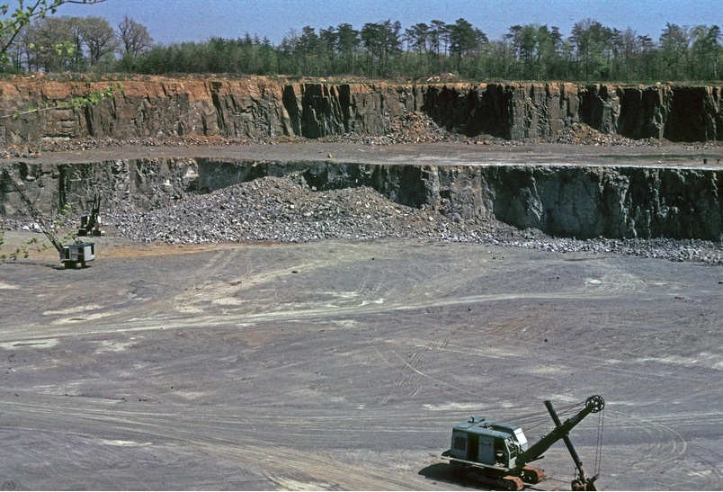


Bull Run Quarry, Conklin, Loudoun County, Virginia, USA