| Locality | Latitude | Longitude | Distance | Bearing |
|---|
| September Mine, Peekskill, Westchester County, New York, USA | 41° 16' 59" N | 73° 55' 0" W | 0.2km (0.1 miles) | |
| Peekskill meteorite, Peekskill, Westchester County, New York, USA | 41° 17' 11" N | 73° 54' 59" W | 0.6km (0.3 miles) | |
| De Luca Mine (McCoy Mine), Peekskill, Westchester County, New York, USA | 41° 17' 23" N | 73° 55' 14" W | 1.0km (0.6 miles) | |
| Peekskill, Westchester County, New York, USA | 41° 17' 23" N | 73° 55' 14" W | 1.0km (0.6 miles) | |
| Mohegan Quarries, Peekskill, Westchester County, New York, USA | 41° 17' 30" N | 73° 55' 0" W | 1.1km (0.7 miles) | |
| Dickey Brook, Peekskill, Westchester County, New York, USA | 41° 16' 22" N | 73° 56' 29" W | 2.2km (1.4 miles) | |
| Strang Emery Pit, Toddville, Cortlandt Township, Westchester County, New York, USA | 41° 17' 30" N | 73° 53' 15" W | 2.8km (1.7 miles) | |
| Toddville, Cortlandt Township, Westchester County, New York, USA | 41° 17' 37" N | 73° 53' 18" W | 2.8km (1.7 miles) | |
| McCoy's Gold Mine, Camp Smith, Peekskill, Westchester County, New York, USA | 41° 17' 59" N | 73° 56' 30" W | 2.9km (1.8 miles) | |
| Crugers Emery Mine, Montrose, Cortlandt Township, Westchester County, New York, USA | 41° 15' 14" N | 73° 55' 18" W | 3.1km (1.9 miles) | |
| Montrose, Cortlandt Township, Westchester County, New York, USA | 41° 15' 8" N | 73° 55' 53" W | 3.4km (2.1 miles) | |
| Verplanck, Cortlandt Township, Westchester County, New York, USA | 41° 15' 10" N | 73° 57' 37" W | 4.8km (3.0 miles) | |
| Verplanck Point, Verplanck, Cortlandt Township, Westchester County, New York, USA | 41° 15' 1" N | 73° 57' 57" W | 5.3km (3.3 miles) | |
| Philips Mine (Philips Pyrite Mine; Anthony's Nose Pyrrhotite Mine), Town of Philipstown, Putnam County, New York, USA | 41° 19' 35" N | 73° 57' 6" W | 5.7km (3.6 miles) | |
| DiRubbo Emery Quarry, Cortlandt Township, Westchester County, New York, USA | 41° 14' 39" N | 73° 52' 5" W | 5.8km (3.6 miles) | |
| Iona Island, Bear Mountain State Park, Rockland County, New York, USA | 41° 18' 23" N | 73° 58' 54" W | 6.0km (3.8 miles) | |
| Dunderberg Mine, Stony Point (Woodbury), Rockland County, New York, USA | 41° 14' 27" N | 73° 58' 14" W | 6.3km (3.9 miles) | |
| Anthony's Nose, Cortlandt Township, Westchester County, New York, USA | 41° 19' 9" N | 73° 58' 41" W | 6.6km (4.1 miles) | |
| Continental Village, Town of Philipstown, Putnam County, New York, USA | 41° 20' 24" N | 73° 54' 13" W | 6.6km (4.1 miles) | |
| Tomkins Cove Quarry, Stony Point (Woodbury), Rockland County, New York, USA | 41° 14' 47" N | 73° 58' 55" W | 6.6km (4.1 miles) | |
| Todd Mine, Peekskill, Westchester County, New York, USA | 41° 20' 30" N | 73° 55' 0" W | 6.7km (4.2 miles) | |
| Phillips ore bed, Town of Putnam Valley, Putnam County, New York, USA | 41° 20' 8" N | 73° 52' 27" W | 7.0km (4.4 miles) | |
| Ore loading dock, Fort Montgomery, Town of Highlands, Orange County, New York, USA | 41° 19' 38" N | 73° 59' 3" W | 7.6km (4.7 miles) | |
| Fort Montgomery, Town of Highlands, Orange County, New York, USA | 41° 19' 53" N | 73° 59' 12" W | 8.0km (5.0 miles) | |
| Bear Mountain, Bear Mountain State Park, Orange County, New York, USA | 41° 18' 46" N | 74° 0' 24" W | 8.2km (5.1 miles) | |
| Yorktown (New York) meteorite, Yorktown, Westchester County, New York, USA | 41° 16' 59" N | 73° 49' 0" W | 8.4km (5.2 miles) | |
| Croton-on-Hudson, Cortlandt Township, Westchester County, New York, USA | 41° 12' 30" N | 73° 53' 24" W | 8.4km (5.2 miles) | |
| Unnamed Graphite occurrence, Fort Montgomery, Town of Highlands, Orange County, New York, USA | 41° 19' 38" N | 73° 59' 59" W | 8.6km (5.3 miles) | |
| Unnamed Graphite occurrence 2, Fort Montgomery, Town of Highlands, Orange County, New York, USA | 41° 19' 27" N | 74° 0' 13" W | 8.6km (5.4 miles) | |
| Yorktown, Westchester County, New York, USA | 41° 17' 44" N | 73° 48' 30" W | 9.2km (5.7 miles) | |
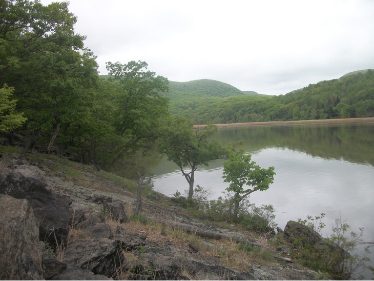


Iona Island, Bear Mountain State Park, Rockland County, New York, USA