GRN grid region: N26E26
A grid 'square' of approximately 160km x 160km, part of the Global Reference Network of 19,833 grid cells covering the Earth.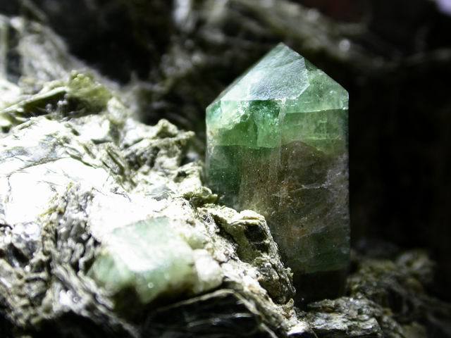

Northeast Corner:
39 0'0'' N , 46 14'35'' E ( 39,46.2433 )
Southwest Corner:
37 30'0'' N , 44 27'54'' E ( 37.5,44.465 )
Region/Areas Intersecting:
Select Mineral List Type
Standard Detailed Gallery Strunz Chemical ElementsCommodity List
This is a list of exploitable or exploited mineral commodities recorded at this locality.Mineral List
62 valid minerals.
Rock Types Recorded
Note: data is currently VERY limited. Please bear with us while we work towards adding this information!
Select Rock List Type
Alphabetical List Tree DiagramLocalities within grid area
- Syunik Province
- Meghri
- Agarak
- Meghri
- East Azerbaijan Province
- Ajab Shir County
- Jolfa County
- Marand County
- Osku County
- Shabestar County
- ⭔West Azerbaijan Province
- Khoy County
- Khoy ophiolite
- Zurabad deposit
- Poldasht County
- Urmia County
- Khoy County


Gharah Bagh Mica Mine, Ghoshchi Pass, Urumieh Complex, Urmia County, West Azerbaijan Province, Iran