| Locality | Latitude | Longitude | Distance | Bearing |
|---|
| Deokpyeong area, Gyeonggi Province, South Korea | 36° 55' 0" N | 127° 46' 59" E | 0.0km (0.0 miles) | |
| Chungju deposit, Mt. Eorae, Joongwon-gun, Chungju City, North Chungcheong Province, South Korea | 36° 57' 44" N | 127° 52' 30" E | 9.6km (6.0 miles) | |
| Tae Hwa Mine, Neungam-ri (Neung Am-ri; Noungam-ri), Angseong-myeon, Chungju City, North Chungcheong Province, South Korea | 37° 4' 59" N | 127° 47' 59" E | 18.6km (11.6 miles) | |
| Wolak Mine, Chungju City, North Chungcheong Province, South Korea | 36° 52' 59" N | 128° 7' 59" E | 31.3km (19.5 miles) | |
| Mugeuk mine (Mugeug mine; Muguk Mine), Jincheon County, North Chungcheong Province, South Korea | 36° 58' 54" N | 127° 24' 56" E | 33.5km (20.8 miles) | |
| Geumwang mine, North Chungcheong Province, South Korea | 36° 58' 16" N | 127° 24' 28" E | 33.9km (21.1 miles) | |
| Geumbong mine, North Chungcheong Province, South Korea | 36° 57' 53" N | 127° 24' 20" E | 34.0km (21.1 miles) | |
| Taegeug mine, North Chungcheong Province, South Korea | 36° 57' 48" N | 127° 24' 12" E | 34.2km (21.2 miles) | |
| Hwanggangri District, North Chungcheong Province, South Korea | 36° 55' 0" N | 128° 13' 0" E | 38.5km (23.9 miles) | |
| Jungbo mine, Hwanggangri District, North Chungcheong Province, South Korea | 36° 59' 20" N | 128° 12' 42" E | 38.9km (24.2 miles) | |
| Geumseong deposit, Hwanggangri District, North Chungcheong Province, South Korea | 37° 3' 46" N | 128° 11' 43" E | 40.1km (24.9 miles) | |
| Kwangsin, Hwanggangri District, North Chungcheong Province, South Korea | 37° 1' 46" N | 128° 17' 9" E | 46.4km (28.8 miles) | |
| Uljin mine, Sangju City, North Gyeongsang Province, South Korea | 36° 30' 0" N | 128° 0' 0" E | 50.2km (31.2 miles) | |
| Seongdo Pb-Zn deposit, Boeun County, North Chungcheong Province, South Korea | 36° 29' 24" N | 127° 35' 24" E | 50.5km (31.4 miles) | |
| Sambo Mine, Hwaseong City, Gyeonggi Province, South Korea | 37° 13' 0" N | 126° 55' 59" E | 82.5km (51.2 miles) | |
| Haengmae Formation, Jeongseon County, Gangwon Province, South Korea | 37° 23' 59" N | 128° 35' 59" E | 90.1km (56.0 miles) | |
| Geumjeong Mine, Bonghwa County, North Gyeongsang Province, South Korea | 37° 4' 4" N | 128° 49' 15" E | 93.7km (58.2 miles) | |
| Sangdong Mine, Sangdong-gun, Gangwon Province, South Korea | 37° 9' 4" N | 128° 50' 13" E | 97.1km (60.3 miles) | |
| Namyang Mine, Umdong-myon, Suwon City, Gyeonggi Province, South Korea | 37° 21' 42" N | 126° 44' 30" E | 104.8km (65.1 miles) | |
| Hongcheon Carbonatite, Hongcheon County, Gangwon Province, South Korea | 37° 51' 0" N | 128° 0' 0" E | 105.5km (65.6 miles) | |
| Gubong Mine, Cheongyang County, South Chungcheong Province, South Korea | 36° 24' 14" N | 126° 45' 29" E | 107.8km (67.0 miles) | |
| Seokpo-myeon, Bonghwa County, North Gyeongsang Province, South Korea | 37° 0' 0" N | 129° 0' 0" E | 108.5km (67.4 miles) | |
| Seokpo smelter, Seokpo-myeon, Bonghwa County, North Gyeongsang Province, South Korea | 37° 0' 0" N | 129° 0' 0" E | 108.5km (67.4 miles) | |
| Yeonhwa mines, Bonghwa County, North Gyeongsang Province, South Korea | 37° 0' 0" N | 129° 0' 0" E | 108.5km (67.4 miles) | |
| Hyondong mine, Bonghwa County, North Gyeongsang Province, South Korea | 36° 58' 7" N | 129° 1' 9" E | 110.0km (68.3 miles) | |
| Yeonhwa I Mine, Yeonhwa mines, Bonghwa County, North Gyeongsang Province, South Korea | 37° 4' 0" N | 129° 1' 59" E | 112.3km (69.8 miles) | |
| Buksite, Gwacheon City, Gyeonggi Province, South Korea | 36° 31' 19" N | 126° 36' 39" E | 113.3km (70.4 miles) | |
| Namsite, Gwacheon City, Gyeonggi Province, South Korea | 36° 31' 0" N | 126° 36' 29" E | 113.8km (70.7 miles) | |
| Bupyong deposit, Bupyeong District, Incheon, South Korea | 37° 29' 24" N | 126° 42' 56" E | 114.0km (70.9 miles) | |
| Janggun mine, Bonghwa County, North Gyeongsang Province, South Korea | 36° 51' 0" N | 129° 4' 0" E | 114.4km (71.1 miles) | |


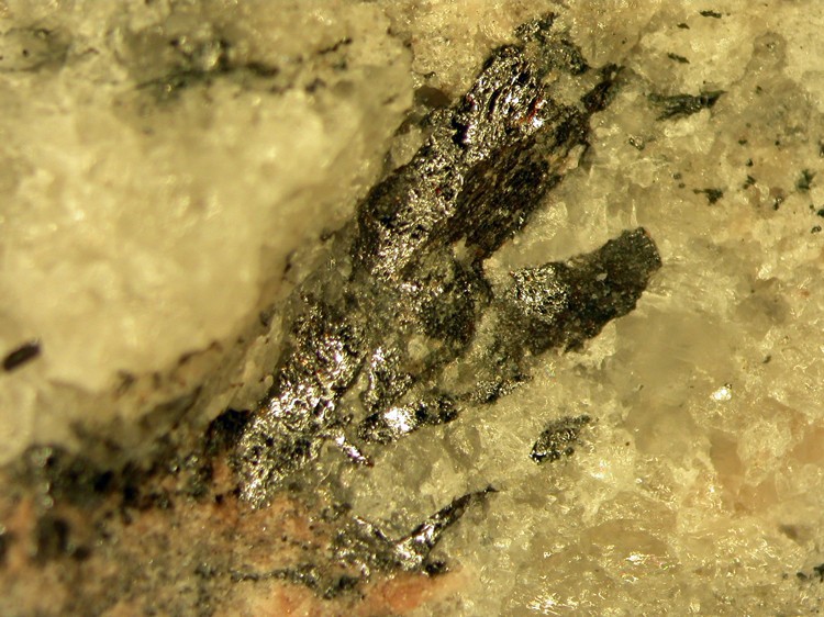


Chungju deposit, Mt. Eorae, Joongwon-gun, Chungju City, North Chungcheong Province, South Korea