GRN grid region: S14E10
A grid 'square' of approximately 160km x 160km, part of the Global Reference Network of 19,833 grid cells covering the Earth.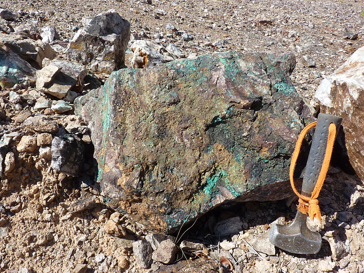


Northeast Corner:
19 30'0'' S , 15 7'48'' E ( -19.5,15.13 )
Southwest Corner:
21 0'0'' S , 13 37'0'' E ( -21,13.6167 )
Climate:
Select Mineral List Type
Standard Detailed Gallery Strunz Chemical ElementsCommodity List
This is a list of exploitable or exploited mineral commodities recorded at this locality.Mineral List
104 valid minerals. 2 (TL) - type locality of valid minerals.
Rock Types Recorded
Note: data is currently VERY limited. Please bear with us while we work towards adding this information!
Select Rock List Type
Alphabetical List Tree DiagramLocalities within grid area
- Erongo Region
- Dâures Constituency
- Kunene Region
- Kamanjab
- ⭔Khorixas
- Damaraland
- De Rust Pegmatite
- Doros Crater
- Doros Intrusion
- Draaihoek Farm 527
- Etendeka Mountain
- Fransfontein
- Goedgenoeg Farm 526
- Goeiehoop Farm 503
- Grootberg Mountain
- Kunene Region
- Khorixas
- Huab Basin amphibian locality
- Korechas Farm 381
- Lofdal-Bergville REE deposit
- Lofdal Intrusion
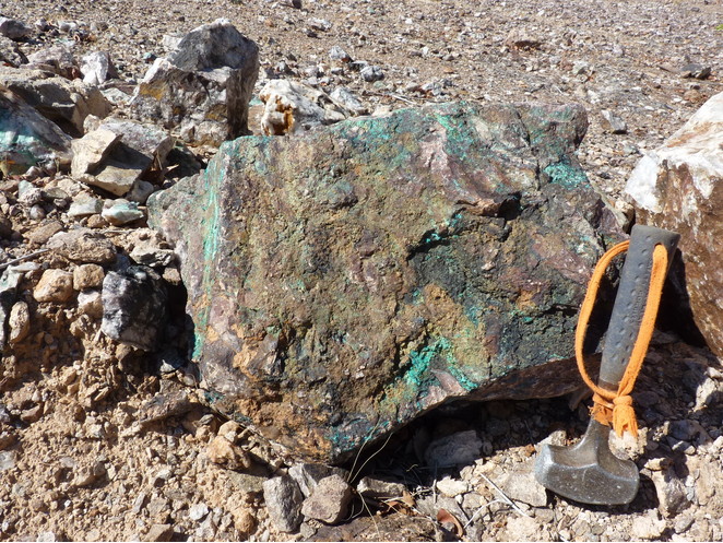
- Mesopotamia copper valley
- Naauwpoort Farm 511
- Navarre Farm 383
- Noute Farm 674
- Oas Intrusion
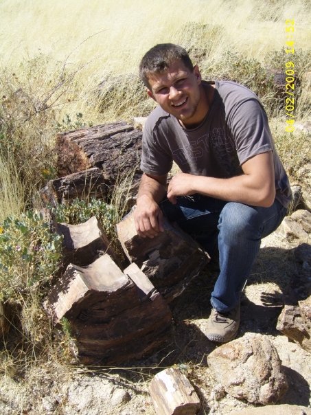
- Petrified Forest National Monument
- Sorris Sorris Farm 186
- Temple of Doom cave
- Twyfelfonteil Farm 534
- Unnamed Sn occurrence [2]
- Unnamed Sn occurrence [3]
- Vegkop Farm 528
- Khorixas


Mesopotamia 504 Farm, Mesopotamia copper valley, Khorixas, Kunene Region, Namibia