| Locality | Latitude | Longitude | Distance | Bearing |
|---|
| Hammar, Askersund, Örebro County, Sweden | 58° 48' 11" N | 14° 57' 48" E | 1.2km (0.8 miles) | |
| Ammeberg zinc roaster, Zinkgruvan mine, Zinkgruvan, Askersund, Örebro County, Sweden | 58° 51' 38" N | 14° 59' 44" E | 5.6km (3.5 miles) | |
| Åmmeberg, Askersund, Örebro County, Sweden | 58° 52' 0" N | 15° 0' 0" E | 6.3km (3.9 miles) | |
| Västerby, Askersund, Örebro County, Sweden | 58° 50' 42" N | 15° 3' 9" E | 6.3km (3.9 miles) | |
| Västerby mine, Västerby, Askersund, Örebro County, Sweden | 58° 50' 46" N | 15° 3' 16" E | 6.5km (4.0 miles) | |
| Garpa mine, Västerby, Askersund, Örebro County, Sweden | 58° 51' 28" N | 15° 2' 49" E | 7.0km (4.3 miles) | |
| Zinkgruvan, Askersund, Örebro County, Sweden | 58° 49' 2" N | 15° 5' 19" E | 7.4km (4.6 miles) | |
| Knalla Mine, Zinkgruvan mine, Zinkgruvan, Askersund, Örebro County, Sweden | 58° 48' 39" N | 15° 5' 23" E | 7.5km (4.6 miles) | |
| Dalby, Zinkgruvan, Askersund, Örebro County, Sweden | 58° 50' 5" N | 15° 5' 7" E | 7.6km (4.7 miles) | |
| Nygruvan Vilain XIV, Zinkgruvan mine, Zinkgruvan, Askersund, Örebro County, Sweden | 58° 48' 55" N | 15° 6' 13" E | 8.2km (5.1 miles) | |
| Åmme mines, Askersund, Örebro County, Sweden | 58° 53' 17" N | 14° 59' 19" E | 8.4km (5.2 miles) | |
| Zinkgruvan mine, Zinkgruvan, Askersund, Örebro County, Sweden | 58° 48' 46" N | 15° 6' 25" E | 8.4km (5.2 miles) | |
| Périer shaft, Zinkgruvan mine, Zinkgruvan, Askersund, Örebro County, Sweden | 58° 48' 48" N | 15° 6' 32" E | 8.6km (5.3 miles) | |
| Vagerstadalen, Askersund, Örebro County, Sweden | 58° 52' 13" N | 14° 50' 57" E | 9.0km (5.6 miles) | |
| Vena Mines, Hammar, Askersund, Örebro County, Sweden | 58° 53' 6" N | 15° 2' 31" E | 9.2km (5.7 miles) | |
| Dampetorp mines, Askersund, Örebro County, Sweden | 58° 54' 11" N | 14° 58' 36" E | 10.0km (6.2 miles) | |
| Högmon mine, Åmmeberg, Askersund, Örebro County, Sweden | 58° 54' 4" N | 15° 1' 13" E | 10.3km (6.4 miles) | |
| Ingelsby, Askersund, Örebro County, Sweden | 58° 54' 25" N | 14° 58' 33" E | 10.4km (6.5 miles) | |
| Perstorp, Godegård, Motala, Östergötland County, Sweden | 58° 45' 58" N | 15° 7' 1" E | 10.5km (6.5 miles) | |
| Skrumpetorp, Godegård, Motala, Östergötland County, Sweden | 58° 46' 44" N | 15° 8' 24" E | 11.1km (6.9 miles) | |
| Stimmerkulla, Askersund, Örebro County, Sweden | 58° 54' 46" N | 15° 1' 11" E | 11.5km (7.2 miles) | |
| Lidbacken, Godegård, Motala, Östergötland County, Sweden | 58° 46' 26" N | 15° 8' 51" E | 11.7km (7.2 miles) | |
| Läggesta Mines, Askersund, Örebro County, Sweden | 58° 55' 16" N | 14° 56' 10" E | 12.0km (7.5 miles) | |
| Falla, Askersund, Örebro County, Sweden | 58° 56' 24" N | 14° 58' 44" E | 14.1km (8.7 miles) | |
| Snavlunda, Askersund, Örebro County, Sweden | 58° 57' 58" N | 14° 53' 51" E | 17.3km (10.8 miles) | |
| Kofalls Mine, Askersund, Örebro County, Sweden | 58° 58' 42" N | 14° 54' 47" E | 18.5km (11.5 miles) | |
| Fromma mines, Hallsberg, Örebro County, Sweden | 58° 59' 59" N | 14° 50' 37" E | 21.7km (13.5 miles) | |
| Yxhult Quarry, Lilla Yxhult, Östergötland County, Sweden | 58° 44' 0" N | 15° 19' 59" E | 23.3km (14.5 miles) | |
| Lilla Yxhult, Östergötland County, Sweden | 58° 43' 57" N | 15° 20' 29" E | 23.7km (14.8 miles) | |
| Diamantberget, Svennevad, Hallsberg, Örebro County, Sweden | 59° 0' 12" N | 15° 20' 56" E | 30.7km (19.1 miles) | |


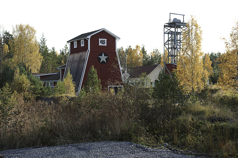
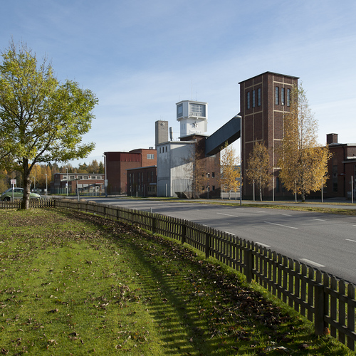


Zinkgruvan mine, Zinkgruvan, Askersund, Örebro County, Sweden