| Locality | Latitude | Longitude | Distance | Bearing |
|---|
| Unkel quarry, Unkel, Unkel, Neuwied, Rhineland-Palatinate, Germany | 50° 36' 31" N | 7° 14' 26" E | 1.0km (0.6 miles) | |
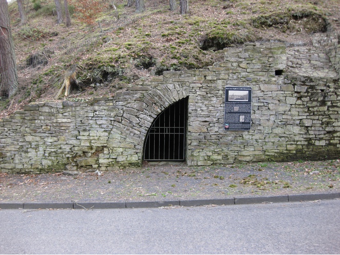
| Virneberg Mine, Rheinbreitbach, Unkel, Neuwied, Rhineland-Palatinate, Germany | 50° 37' 4" N | 7° 14' 57" E | 1.1km (0.7 miles) | |
| Marienberg Mine, Unkel, Unkel, Neuwied, Rhineland-Palatinate, Germany | 50° 36' 42" N | 7° 15' 1" E | 1.3km (0.8 miles) | |
| Menzenberg, Bad Honnef, Rhein-Sieg-Kreis, Cologne, North Rhine-Westphalia, Germany | 50° 37' 47" N | 7° 14' 51" E | 1.8km (1.1 miles) | |
| Menzenberg Mine, Menzenberg, Bad Honnef, Rhein-Sieg-Kreis, Cologne, North Rhine-Westphalia, Germany | 50° 37' 47" N | 7° 14' 51" E | 1.8km (1.1 miles) | |
| Unkelstein, Unkelbach, Remagen, Ahrweiler, Rhineland-Palatinate, Germany | 50° 36' 17" N | 7° 12' 40" E | 2.0km (1.3 miles) | |
| Rolandseck, Rolandswerth, Remagen, Ahrweiler, Rhineland-Palatinate, Germany | 50° 37' 49" N | 7° 12' 29" E | 2.3km (1.5 miles) | |
| Leyberg, Bad Honnef, Rhein-Sieg-Kreis, Cologne, North Rhine-Westphalia, Germany | 50° 37' 59" N | 7° 16' 1" E | 3.0km (1.9 miles) | |
| Unkelbach, Remagen, Ahrweiler, Rhineland-Palatinate, Germany | 50° 36' 4" N | 7° 11' 27" E | 3.5km (2.1 miles) | |
| Phinchen Mine, Erpel, Unkel, Neuwied, Rhineland-Palatinate, Germany | 50° 36' 55" N | 7° 16' 59" E | 3.5km (2.2 miles) | |
| Römerbrunnen, Bad Honnef, Rhein-Sieg-Kreis, Cologne, North Rhine-Westphalia, Germany | 50° 38' 56" N | 7° 13' 35" E | 3.6km (2.3 miles) | |
| Gierswiese (Gerstwiese), Königswinter, Rhein-Sieg-Kreis, Cologne, North Rhine-Westphalia, Germany | 50° 39' 1" N | 7° 14' 19" E | 3.8km (2.3 miles) | |
| Rolandswerth, Remagen, Ahrweiler, Rhineland-Palatinate, Germany | 50° 38' 50" N | 7° 12' 10" E | 4.0km (2.5 miles) | |
| Erpeler Ley (Leyberg), Erpel, Unkel, Neuwied, Rhineland-Palatinate, Germany | 50° 34' 53" N | 7° 14' 47" E | 4.0km (2.5 miles) | |
| Schmelzertal (Ohbach), Bad Honnef, Rhein-Sieg-Kreis, Cologne, North Rhine-Westphalia, Germany | 50° 39' 7" N | 7° 15' 24" E | 4.3km (2.7 miles) | |
| Clemenslust Mine, Linz am Rhein, Linz am Rhein, Neuwied, Rhineland-Palatinate, Germany | 50° 36' 54" N | 7° 17' 39" E | 4.3km (2.7 miles) | |
| Dungberg (Dungkopf), Unkelbach, Remagen, Ahrweiler, Rhineland-Palatinate, Germany | 50° 35' 26" N | 7° 11' 3" E | 4.5km (2.8 miles) | |
| Meerberg, Linz am Rhein, Linz am Rhein, Neuwied, Rhineland-Palatinate, Germany | 50° 36' 33" N | 7° 17' 47" E | 4.5km (2.8 miles) | |
| Niederbachem, Wachtberg, Rhein-Sieg-Kreis, Cologne, North Rhine-Westphalia, Germany | 50° 38' 38" N | 7° 10' 47" E | 4.9km (3.0 miles) | |
| Rhöndorf, Bad Honnef, Rhein-Sieg-Kreis, Cologne, North Rhine-Westphalia, Germany | 50° 39' 29" N | 7° 12' 36" E | 4.9km (3.0 miles) | |
| Erl, Kasbach-Ohlenberg, Linz am Rhein, Neuwied, Rhineland-Palatinate, Germany | 50° 35' 39" N | 7° 17' 36" E | 4.9km (3.1 miles) | |
| Minderberg quarry (Düstemich), Linz am Rhein, Linz am Rhein, Neuwied, Rhineland-Palatinate, Germany | 50° 36' 6" N | 7° 17' 59" E | 5.0km (3.1 miles) | |
| Venus Mine, Linz am Rhein, Linz am Rhein, Neuwied, Rhineland-Palatinate, Germany | 50° 35' 46" N | 7° 17' 55" E | 5.2km (3.2 miles) | |
| Dächelsberg, Niederbachem, Wachtberg, Rhein-Sieg-Kreis, Cologne, North Rhine-Westphalia, Germany | 50° 38' 13" N | 7° 10' 3" E | 5.2km (3.2 miles) | |
| Löwenburg, Bad Honnef, Rhein-Sieg-Kreis, Cologne, North Rhine-Westphalia, Germany | 50° 39' 50" N | 7° 15' 1" E | 5.4km (3.3 miles) | |
| Drachenfels, Königswinter, Rhein-Sieg-Kreis, Cologne, North Rhine-Westphalia, Germany | 50° 39' 48" N | 7° 12' 35" E | 5.5km (3.4 miles) | |
| Züllighoven, Wachtberg, Rhein-Sieg-Kreis, Cologne, North Rhine-Westphalia, Germany | 50° 37' 7" N | 7° 9' 20" E | 5.5km (3.4 miles) | |
| Servatiuskapelle, Bad Honnef, Rhein-Sieg-Kreis, Cologne, North Rhine-Westphalia, Germany | 50° 39' 2" N | 7° 17' 24" E | 5.5km (3.4 miles) | |
| Oberbachem, Wachtberg, Rhein-Sieg-Kreis, Cologne, North Rhine-Westphalia, Germany | 50° 38' 13" N | 7° 9' 33" E | 5.7km (3.5 miles) | |
| Laura Mine, Oberbachem, Wachtberg, Rhein-Sieg-Kreis, Cologne, North Rhine-Westphalia, Germany | 50° 37' 40" N | 7° 9' 13" E | 5.7km (3.6 miles) | |
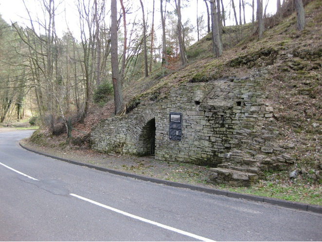


Virneberg Mine, Rheinbreitbach, Unkel, Neuwied, Rhineland-Palatinate, Germany