| Locality | Latitude | Longitude | Distance | Bearing |
|---|
| Cumberland Hill, Cumberland, Providence County, Rhode Island, USA | 41° 58' 14" N | 71° 27' 34" W | 0.7km (0.5 miles) | |
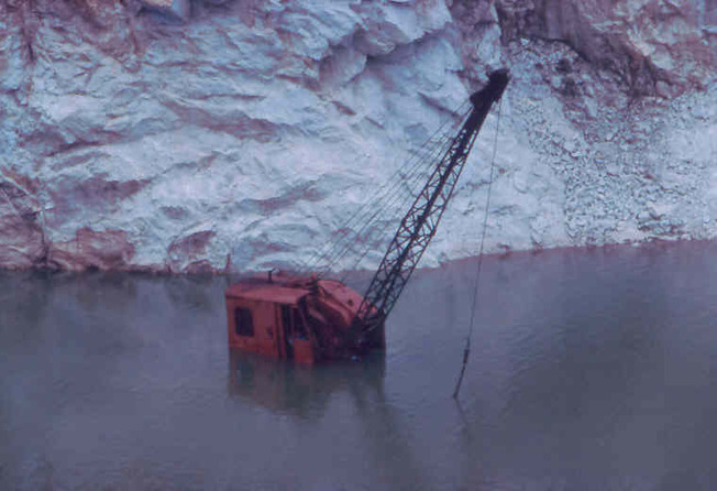
| Manville Quarry (Riverview Quarry; CQC Quarry; Forte Brothers Quarry; Todesca Quarry), Cumberland, Providence County, Rhode Island, USA | 41° 58' 50" N | 71° 28' 49" W | 1.3km (0.8 miles) | |
| Manville, Lincoln, Providence County, Rhode Island, USA | 41° 57' 42" N | 71° 28' 27" W | 1.6km (1.0 miles) | |
| Staples Road Manganese bed, Cumberland, Providence County, Rhode Island, USA | 41° 59' 0" N | 71° 26' 21" W | 2.5km (1.5 miles) | |
| Staples Road, Cumberland, Providence County, Rhode Island, USA | 41° 59' 0" N | 71° 26' 21" W | 2.5km (1.5 miles) | |
| Beacon Pole Hill quarry, Cumberland, Providence County, Rhode Island, USA | 41° 59' 42" N | 71° 26' 37" W | 3.0km (1.9 miles) | |
| Housing development in Staples Road, Cumberland, Providence County, Rhode Island, USA | 41° 58' 54" N | 71° 25' 54" W | 3.0km (1.9 miles) | |
| Maple Ridge Drive, Cumberland, Providence County, Rhode Island, USA | 42° 0' 9" N | 71° 27' 35" W | 3.2km (2.0 miles) | |
| Sneech Pond copper mines (Copper Mine Hill), Cumberland, Providence County, Rhode Island, USA | 42° 0' 2" N | 71° 26' 45" W | 3.4km (2.1 miles) | |
| Iron Mine Hill quarry, Cumberland, Providence County, Rhode Island, USA | 42° 0' 17" N | 71° 27' 24" W | 3.5km (2.2 miles) | |
| Poker Hill, Ashton, Cumberland, Providence County, Rhode Island, USA | 41° 56' 54" N | 71° 25' 54" W | 4.1km (2.6 miles) | |
| Scott Road Manganese prospects, Cumberland, Providence County, Rhode Island, USA | 41° 57' 56" N | 71° 25' 1" W | 4.2km (2.6 miles) | |
| Diamond Hill Granite Company quarry (Catamint Hill quarry; Calumet Hill quarry), Diamond Hill, Cumberland, Providence County, Rhode Island, USA | 42° 0' 14" N | 71° 25' 31" W | 4.7km (2.9 miles) | |
| Ashton, Cumberland, Providence County, Rhode Island, USA | 41° 56' 20" N | 71° 25' 50" W | 5.0km (3.1 miles) | |
| Grants Mills, Cumberland, Providence County, Rhode Island, USA | 42° 0' 24" N | 71° 25' 16" W | 5.2km (3.2 miles) | |
| Lime Rock, Lincoln, Providence County, Rhode Island, USA | 41° 55' 44" N | 71° 27' 0" W | 5.3km (3.3 miles) | |
| Woonsocket, Providence County, Rhode Island, USA | 42° 0' 29" N | 71° 30' 57" W | 5.5km (3.4 miles) | |
| Conklin Quarry, Lime Rock, Lincoln, Providence County, Rhode Island, USA | 41° 55' 31" N | 71° 27' 25" W | 5.5km (3.4 miles) | |
| Diamond Hill, Cumberland, Providence County, Rhode Island, USA | 41° 58' 59" N | 71° 24' 0" W | 5.6km (3.5 miles) | |
| Diamond Hill Reservoir, Diamond Hill, Cumberland, Providence County, Rhode Island, USA | 41° 59' 53" N | 71° 23' 57" W | 6.2km (3.8 miles) | |
| Berkeley, Cumberland, Providence County, Rhode Island, USA | 41° 55' 47" N | 71° 25' 22" W | 6.2km (3.8 miles) | |
| Lynch Quarry (Quinn Quarry), Berkeley, Cumberland, Providence County, Rhode Island, USA | 41° 55' 52" N | 71° 25' 5" W | 6.3km (3.9 miles) | |
| Lincoln, Providence County, Rhode Island, USA | 41° 55' 15" N | 71° 26' 6" W | 6.5km (4.0 miles) | |
| Dexter Quarry (Dexter Lime Quarry), Lime Rock, Lincoln, Providence County, Rhode Island, USA | 41° 55' 8" N | 71° 25' 59" W | 6.8km (4.2 miles) | |
| North Smithfield, Providence County, Rhode Island, USA | 41° 58' 0" N | 71° 32' 57" W | 6.9km (4.3 miles) | |
| Waterford, North Smithfield, Providence County, Rhode Island, USA | 42° 0' 45" N | 71° 32' 20" W | 7.3km (4.5 miles) | |
| Sheldonville Gold Mine (Wrentham Gold Mine), Wrentham, Norfolk County, Massachusetts, USA | 42° 2' 13" N | 71° 23' 52" W | 9.0km (5.6 miles) | |
| Smithfield, Providence County, Rhode Island, USA | 41° 55' 18" N | 71° 33' 0" W | 9.0km (5.6 miles) | |
| Interstate highway 295 & State Route 7 intersection, Smithfield, Providence County, Rhode Island, USA | 41° 55' 0" N | 71° 33' 0" W | 9.4km (5.8 miles) | |
| Valley Falls, Cumberland, Providence County, Rhode Island, USA | 41° 54' 24" N | 71° 23' 26" W | 9.8km (6.1 miles) | |


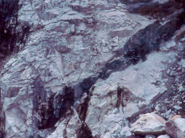


Conklin Quarry, Lime Rock, Lincoln, Providence County, Rhode Island, USA