| Locality | Latitude | Longitude | Distance | Bearing |
|---|
| Sjögruvan, Grythyttan, Hällefors, Örebro County, Sweden | 59° 40' 6" N | 14° 36' 28" E | 0.0km (0.0 miles) | |
| Nya Mine, Hällefors, Örebro County, Sweden | 59° 38' 55" N | 14° 34' 49" E | 2.7km (1.7 miles) | |
| Sundsudden, Hällefors, Örebro County, Sweden | 59° 41' 21" N | 14° 31' 58" E | 4.8km (3.0 miles) | |
| Sundsudden Mine, Sundsudden, Hällefors, Örebro County, Sweden | 59° 41' 12" N | 14° 31' 49" E | 4.8km (3.0 miles) | |
| Jockumstorp, Grythyttan, Hällefors, Örebro County, Sweden | 59° 39' 41" N | 14° 31' 4" E | 5.1km (3.2 miles) | |
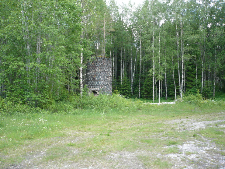
| Grythyttan quarry, Grythyttan, Hällefors, Örebro County, Sweden | 59° 41' 58" N | 14° 31' 37" E | 5.7km (3.6 miles) | |
| Grythyttan, Hällefors, Örebro County, Sweden | 59° 42' 19" N | 14° 32' 10" E | 5.7km (3.6 miles) | |
| Hasselhöjden, Grythyttan, Hällefors, Örebro County, Sweden | 59° 38' 2" N | 14° 31' 10" E | 6.3km (3.9 miles) | |
| Brunnsjögruvan, Grythyttan, Hällefors, Örebro County, Sweden | 59° 37' 37" N | 14° 30' 12" E | 7.5km (4.6 miles) | |
| Upper Leptitehalleflinta group, Hällefors, Örebro County, Sweden | 59° 44' 24" N | 14° 29' 40" E | 10.2km (6.3 miles) | |
| Rombohöjden prospect, Hjulsjö, Hällefors, Örebro County, Sweden | 59° 45' 31" N | 14° 43' 24" E | 11.9km (7.4 miles) | |
| Svartsång ore field, Kroppa, Persberg ore district, Filipstad, Värmland County, Sweden | 59° 40' 5" N | 14° 21' 38" E | 13.9km (8.6 miles) | |
| Timansberg, Nora, Örebro County, Sweden | 59° 37' 39" N | 14° 50' 51" E | 14.2km (8.8 miles) | |
| Finnfalls mine, Gruvåsen mines, Persberg ore district, Filipstad, Värmland County, Sweden | 59° 44' 25" N | 14° 23' 31" E | 14.5km (9.0 miles) | |
| Åskagen Quarry, Persberg ore district, Filipstad, Värmland County, Sweden | 59° 42' 35" N | 14° 21' 19" E | 14.9km (9.3 miles) | |
| Rockesholm, Nora, Örebro County, Sweden | 59° 31' 59" N | 14° 38' 13" E | 15.1km (9.4 miles) | |
| Killingberget, Hällefors, Örebro County, Sweden | 59° 47' 53" N | 14° 41' 39" E | 15.2km (9.5 miles) | |
| Sikfors Mine, Hällefors, Örebro County, Sweden | 59° 48' 22" N | 14° 34' 32" E | 15.4km (9.6 miles) | |
| Skärhyttan, Rockesholm, Nora, Örebro County, Sweden | 59° 32' 8" N | 14° 42' 22" E | 15.8km (9.8 miles) | |
| Hjulsjö, Hällefors, Örebro County, Sweden | 59° 47' 2" N | 14° 46' 42" E | 16.0km (9.9 miles) | |
| Dressfalls Mines, Gruvåsen mines, Persberg ore district, Filipstad, Värmland County, Sweden | 59° 44' 59" N | 14° 22' 1" E | 16.3km (10.1 miles) | |
| Torskebäcks mine, Gruvåsen mines, Persberg ore district, Filipstad, Värmland County, Sweden | 59° 45' 4" N | 14° 22' 0" E | 16.4km (10.2 miles) | |
| Järnboås, Nora, Örebro County, Sweden | 59° 38' 43" N | 14° 53' 52" E | 16.5km (10.2 miles) | |
| Lång Mines, Gruvåsen mines, Persberg ore district, Filipstad, Värmland County, Sweden | 59° 45' 9" N | 14° 21' 51" E | 16.6km (10.3 miles) | |
| Rökärrs Mine, Timansberg, Nora, Örebro County, Sweden | 59° 37' 14" N | 14° 53' 17" E | 16.6km (10.3 miles) | |
| Sirsjöberg Mine, Hjulsjö, Hällefors, Örebro County, Sweden | 59° 49' 6" N | 14° 38' 47" E | 16.8km (10.5 miles) | |
| Långbocken mine, Nora, Örebro County, Sweden | 59° 35' 19" N | 14° 52' 0" E | 17.0km (10.6 miles) | |
| Ösjöberg Mine, Hjulsjö, Hällefors, Örebro County, Sweden | 59° 49' 2" N | 14° 42' 32" E | 17.5km (10.9 miles) | |
| Iron works, Nykroppa, Filipstad, Värmland County, Sweden | 59° 37' 28" N | 14° 18' 19" E | 17.7km (11.0 miles) | |
| Silverberget, Järnboås, Nora, Örebro County, Sweden | 59° 42' 47" N | 14° 55' 25" E | 18.4km (11.4 miles) | |


Hasselhöjden, Grythyttan, Hällefors, Örebro County, Sweden