GRN grid region: N42W40
A grid 'square' of approximately 160km x 160km, part of the Global Reference Network of 19,833 grid cells covering the Earth.


Northeast Corner:
63 0'0'' N , 112 14'5'' W ( 63,-112.235 )
Southwest Corner:
61 30'0'' N , 115 6'46'' W ( 61.5,-115.113 )
Climate:
Region/Areas Intersecting:
North America Plate
Canada
West Canadian-Alberta basin, North America Plate
Northwest Territories, Canada
North Slave Region, Northwest Territories, Canada
South Slave Region, Northwest Territories, Canada
Great Slave Lake, Northwest Territories, Canada
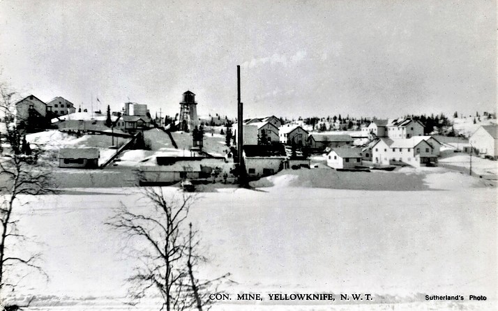
Yellowknife, North Slave Region, Northwest Territories, Canada
Canada
West Canadian-Alberta basin, North America Plate
Northwest Territories, Canada
North Slave Region, Northwest Territories, Canada
South Slave Region, Northwest Territories, Canada
Great Slave Lake, Northwest Territories, Canada
Yellowknife, North Slave Region, Northwest Territories, Canada
Select Mineral List Type
Standard Detailed Gallery Strunz Chemical ElementsCommodity List
This is a list of exploitable or exploited mineral commodities recorded at this locality.Mineral List
150 valid minerals. 3 (TL) - type locality of valid minerals. 1 (FRL) - first recorded locality of unapproved mineral/variety/etc.
Rock Types Recorded
Note: data is currently VERY limited. Please bear with us while we work towards adding this information!
Select Rock List Type
Alphabetical List Tree DiagramLocalities within grid area
- Northwest Territories
- Blachford Lake alkaline complex
- Great Slave Lake
- North Slave Region
- Blachford Lake alkaline complex
- Thor Lake syenite complex
- Drybones Bay Kimberlite Pipe
- Sunrise deposit
- Yellowknife
- Blachford Lake alkaline complex
- Northwest Territories
- North Slave Region
- Yellowknife Pegmatite field


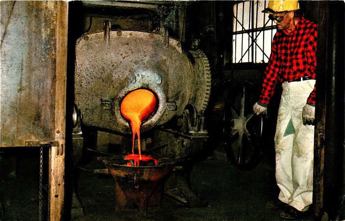
Giant Yellowknife Mine, Yellowknife, North Slave Region, Northwest Territories, Canada