GRN grid region: N22E79
A grid 'square' of approximately 160km x 160km, part of the Global Reference Network of 19,833 grid cells covering the Earth.


Northeast Corner:
33 0'0'' N , 131 15'35'' E ( 33,131.26 )
Southwest Corner:
31 30'0'' N , 129 35'52'' E ( 31.5,129.598 )
Climate:
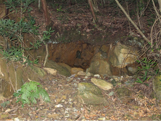
Select Mineral List Type
Standard Detailed Gallery Strunz Chemical ElementsCommodity List
This is a list of exploitable or exploited mineral commodities recorded at this locality.Mineral List
170 valid minerals. 6 (TL) - type locality of valid minerals.
Rock Types Recorded
Note: data is currently VERY limited. Please bear with us while we work towards adding this information!
Select Rock List Type
Alphabetical List Tree DiagramLocalities within grid area
- Kagoshima Prefecture
- Aira District
- Hioki City
- ⭔Hishikari Au mine
- Ichikikushikino City
- Isa City
- Kago deposit
- Kagoshima City
- Kinzan
- Kirishima City
- Kyushu meteorite
- Okuchi City
- Okuchi mine (Oguchi mine)
- Sakkabira
- Satsumasendai City
- Kagoshima Prefecture
- Satsumasendai City
- Kumamoto Prefecture
- Amakusa District
- Arao City
- Ichinomata Mine
- Kuma District
- Itsuki
- Kuma village
- Kumamoto City
- Ryumon pegmatite
- Shimomashiki District
- Misato
- Uemura
- Uki City
- Yatsushiro City
- Miyazaki Prefecture
- Ebino City
- Koyu district
- Miyakonojō City
- Nagasaki Prefecture
- Nagasaki City
- Hashima island (Gunkan island)
- Ikeshima island
- Kinkai-cho
- Kinkai-Tone-machi
- Mie
- Takashima island
- Nishisonogi District
- Saikai City
- Shimabara City
- Nagasaki City


Sakurajima volcano, Sakurajima, Kagoshima City, Kagoshima Prefecture, Japan