GRN grid region: N29E04
A grid 'square' of approximately 160km x 160km, part of the Global Reference Network of 19,833 grid cells covering the Earth.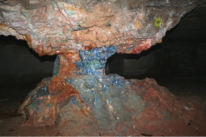

Northeast Corner:
43 30'0'' N , 7 34'12'' E ( 43.5,7.57 )
Southwest Corner:
42 0'0'' N , 5 40'36'' E ( 42,5.67667 )
Climate:
Select Mineral List Type
Standard Detailed Gallery Strunz Chemical ElementsCommodity List
This is a list of exploitable or exploited mineral commodities recorded at this locality.Mineral List
250 valid minerals. 17 (TL) - type locality of valid minerals. 13 erroneous literature entries.
Rock Types Recorded
Note: data is currently VERY limited. Please bear with us while we work towards adding this information!
Select Rock List Type
Alphabetical List Tree DiagramLocalities within grid area
- Provence-Alpes-Côte d'Azur
- Var
- Draguignan
- Rayol-Canadel-sur-Mer
- Saint-Raphaël
- Vidauban
- Toulon
- Bormes-les-Mimosas
- Collobrières
- Évenos
- Hyères
- La Londe-les-Maures
- Le Lavandou
- Le Pradet
- Draguignan
- Var


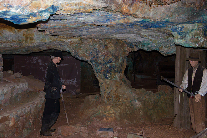
Cap Garonne Mine, Le Pradet, Toulon, Var, Provence-Alpes-Côte d'Azur, France